Sign Up for the Utah Snow and Avalanche Workshop (USAW) on December 7th!

Observation: Maple Canyon

Observation Date
3/12/2016
Observer Name
Toddeo
Region
Southwest » Pahvant Range » Maple Canyon
Location Name or Route
Pahvants - Maple Hollow
Weather
Sky
Broken
Wind Direction
West
Wind Speed
Light
Weather Comments
Partly cloudy, just enough to slow the softening of corn. Light wind also kept snow firm at the upper elevations.
Snow Characteristics
Snow Surface Conditions
Melt-Freeze Crust
Damp
Snow Characteristics Comments

Good refreeze overnight, 40 degrees in Fillmore this morning, snow was firm at trailhead but mud was not completely refrozen @6500'. Needed ski crampons while ascending to 8000'.

East aspects soft by 10.30 am,

South aspects at 9300' were soft upon my arrival at 12.30.

West aspects above 8500' were not soft upon my exit at 3.30.

Northerly aspects above 8000' did not soften.

the south 270 degrees of the compass contain a consolidated spring snow pack, corn was real, not a crust. The north 90 degrees of the compass above 8500' or so contain a semi supportable to supportable crust. My max elevation of 9300' was not high enough to find snow without a crust.

Red Flags
Red Flags Comments
No red flags today, minor rollerballs below 7000' on my exit.
Avalanche Problem #1
Problem
Normal Caution
Trend
Same
Problem #1 Comments

Normal caution for spring conditions, this could change with forecasted snow.

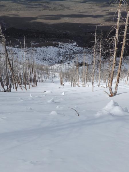
Slide for life is possible on steep aspects that have not softened. Top turns on the northwest facing slide path/burn (photo below) I skied in the afternoon was attention getting, not cocktail skiing!

Low hazard until it snows.

Comments

No snow profile but a few quick pits on north aspects showed a crust overlaying dry, dense rounds overlaying a melt freeze crust at 12" deep.

Photos below:

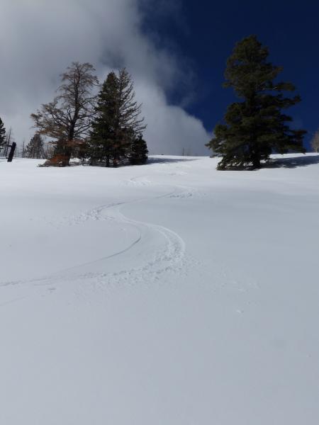
1- Smooth corn when you are the only skier in the range....

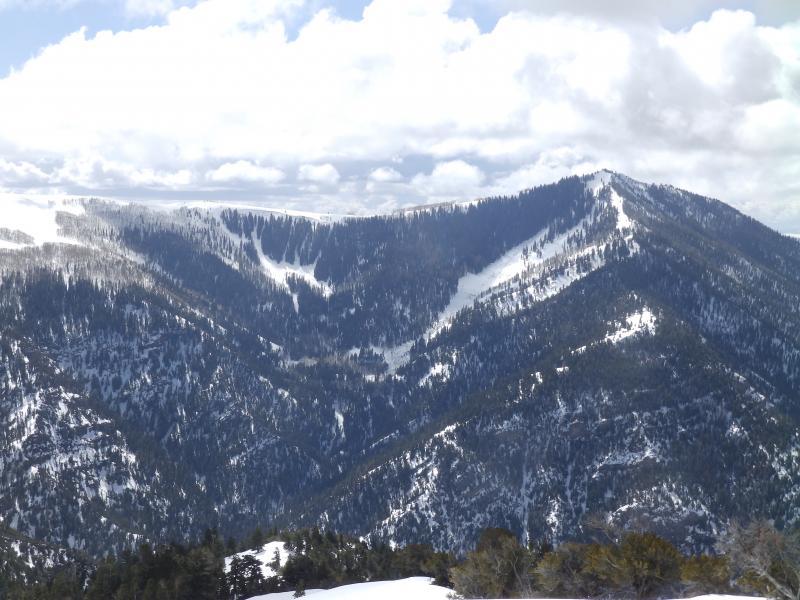
2- Typical Pahvant terrain, upper Pioneer Canyon.
2 photos of debris in slide path skied ,distal and up close. I am not sure when this path slid.
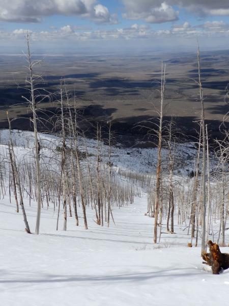
Photos of some of the terrain today, up close and one showing exit, over 2000' of relief. 2nd photo taken from near parking @6500'.

I was in parts of this burn early winter, I think it is a much safer outing when a consolidated snow pack keeps you above the many downed trees.
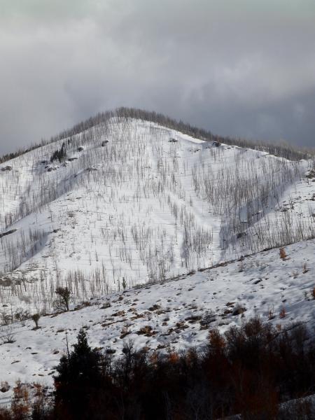
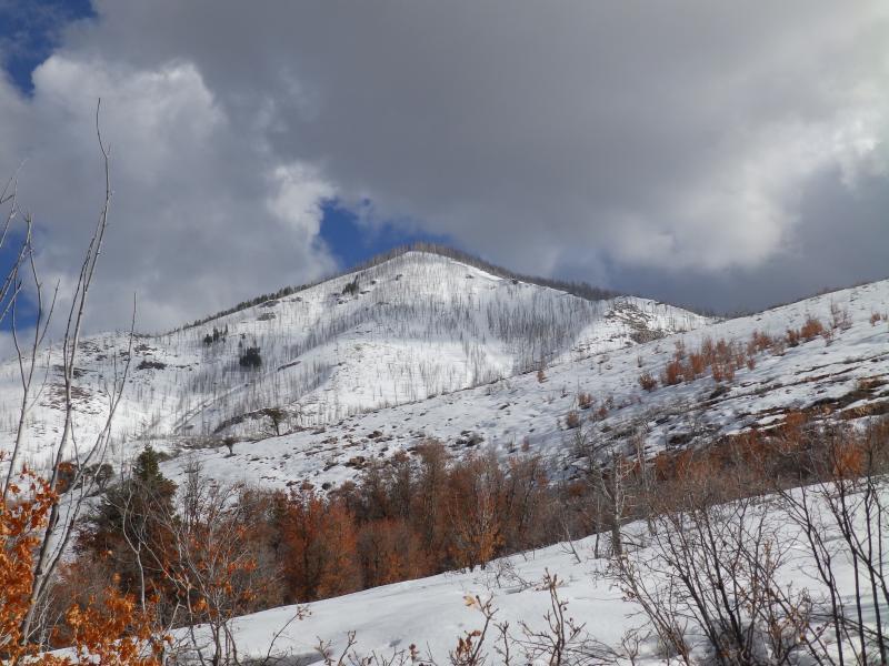
Skied all aspects today.

Car access to Maple Hollow is possible again. Sand Rock Ridge Road still blocked by drifts. Chalk Creek Road is still gated closed.

Today's Observed Danger Rating
Low
Tomorrows Estimated Danger Rating
Low