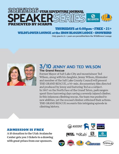
Thursday 6pm: Utah Adventure Journals final installment of the speaker series at Snowbird presented by Scarpa. Raffle held to benefit UAC. Must be 21 or older to attend.
Wow.... yesterday's little storm blossomed into a full-on, winter-like snow producer. In short order, 4"-6" of new snow quickly stacked up, westerly winds raged into the 50's along the high peaks, and there were reports of lightning as the cold front marched through the region. Of course, I underestimated the storm and basically blew the forecast, but that was so yesterday. I think I got it right this morning though. Looking around the range, skies are clear, temperatures in the mid to upper 20's, and southwest winds are blowing 15-25 mph along the high ridges. On a go-anywhere kinda base, excellent riding and turning conditions exist, especially in wind sheltered terrain facing the north half of the compass.
Mark Staples was in the Whitney Basin yesterday and reports soft, surfy snow in wind sheltered terrain. More on his travels here.
Uinta weather station network info is found here.
Trip reports and observations are found here.
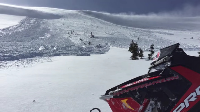
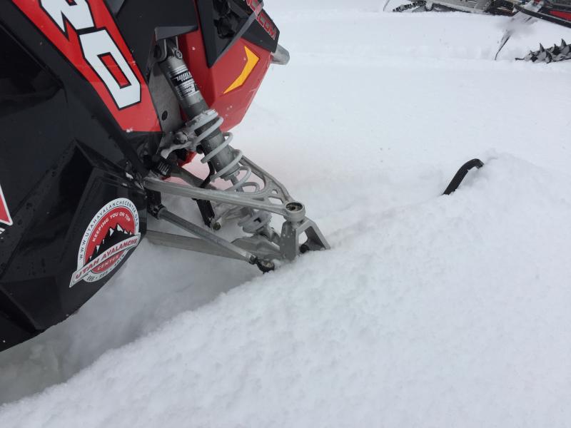
Yesterday's winds cranked in the morning, producing sensitive, yet pockety soft slabs in the wind zone. Mark spotted this fresh wind slab on Double Hill yesterday. Click here to view a short viddy.
Recent avalanche observations are found here
See or trigger an avalanche? Shooting cracks? Hear a collapse? It's simple. Go here to fill out an observation.