Observation: Soldier Fork

Observation Date
3/9/2016
Observer Name
Evelyn
Region
Salt Lake » Mill Creek Canyon » Soldier Fork
Location Name or Route
Butler East Fork to Soldier
Weather
Sky
Few
Wind Direction
Northwest
Wind Speed
Light
Weather Comments
Clouds decreasing as the day went on. Cool when there were clouds and a breeze; warm out of the wind in the sun.
Snow Characteristics
New Snow Depth
4"
New Snow Density
High
Snow Surface Conditions
Powder
Snow Characteristics Comments
Super nice refresher of 4 to 6" of gruapel laden snow, on supportable crusts on east through south through west; adding seamlessly to Sunday night's snow on north to equal about 8 to 12" of dense dry snow. Southeast through south through west will be crusted tomorrow, and on their way to corn again. Some easterly slopes my have escaped heating in the cloudier areas, along with NW, N and NE.
Red Flags
Red Flags
Wind Loading
Red Flags Comments
Some wind drifting and cornices along ridgeline, but soft and not sensitive where I was.
Avalanche Problem #1
Problem
Normal Caution
Problem #1 Comments
No signs of recent activity, any sluffs (Wilson chutes) looked old, from Sunday/Monday. Some interesting upper snow pack layering where there is a thin ice crust between the Sunday's and today's snow. I expect with numerous warm days ahead, this will become one strong melt/freeze layer on most slopes. Worth re-looking at this layering on mid/upper elevation northerly before the next bigger storm.
Avalanche Problem #2
Problem
Wet Snow
Problem #2 Comments
With tomorrow's sun and big jump in temperatures, wet loose sluffs will be the most widespread concern. However, on many slopes, there is limited snow available to heat.
Comments
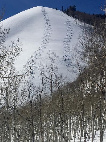
Had to clock out and take a long lunch break......
Today's Observed Danger Rating
Low
Tomorrows Estimated Danger Rating
Moderate
Coordinates