Observation Date
2/16/2016
Observer Name
Ted Scroggin
Region
Uintas » Bear River Ranger District » Whitney Basin
Location Name or Route
Whitney Basin-Humpy Creek
Weather
Sky
Few
Wind Direction
West
Wind Speed
Light
Weather Comments
A few dense clouds hanging over the high peaks this morning, but by mid-morning skies were mostly clear with just some high thin clouds.
Snow Characteristics
New Snow Depth
4"
New Snow Density
Medium
Snow Surface Conditions
Powder
Dense Loose
Wind Crust
Rain-Rime Crust
Damp
Snow Characteristics Comments
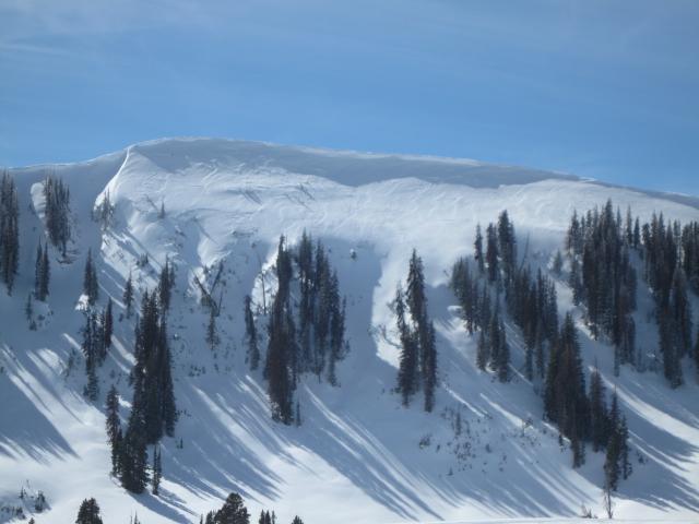
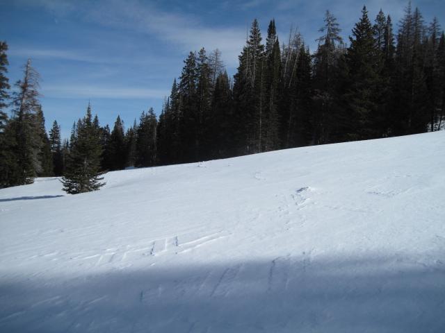
Kind of a mixed bag of snow conditions out there today. The moist northwest storm that delievered about 3-4" of fairly dense snow on Sunday also had strong west and northwest winds that got down into the mid-elevations. I was finding everything from unreactive wind slabs just off the ridgelines, old hard tracks that the wind had exposed, dense almost stiff like snow lower on the slopes and warm damp snow on south facing slopes.
Red Flags
Red Flags
Wind Loading
Rapid Warming
Red Flags Comments
I checked wind loading as a red flag and observed lots of wind affected snow off the ridgelines, mainly on east through southeast facing slopes. However, I could not get any of these drifts and shallow slabs to break, it seems like things were pretty well glued in place with the warm dense snow. I also checked rapid warming, but the slight breeze seemed to keep any wet activity in check in the higher terrain. The lower elevations continue to take a hit with these warm temperatures.
Avalanche Problem #1
Problem
Wind Drifted Snow
Trend
Increasing Danger
Problem #1 Comments
Not a problem today, but the forecast is calling for very strong winds with the approaching storm late tomorrow into Thursday. The new snow on the ground now will quickly be blown into wind slabs.
Avalanche Problem #2
Problem
Wet Snow
Trend
Increasing Danger
Problem #2 Comments
Another warm day tomorrow could get the new snow a little more active with day time heating.
Comments
Lots of signs of the winds busy at work the last couple of days along the high ridge lines and even in the mid-elevations the snow conditions were impacted by winds with old tracks exposed.
Today's Observed Danger Rating
Moderate
Tomorrows Estimated Danger Rating
Moderate