Geyser Pass road update:
The recent storm made the Geyser Pass road impassable. Vehicles who have attempted it have only gotten a hundred yards or so. It appears that it will not be plowed for the rest of the winter, so snowmobiles, skis or snowshoes remain your only options. With little room for parking at the junction, please be courteous and not block traffic or other vehicles. Better yet, with all the low elevation snow this season, this is a good time to explore all the other options for recreation close to the plowed roads.
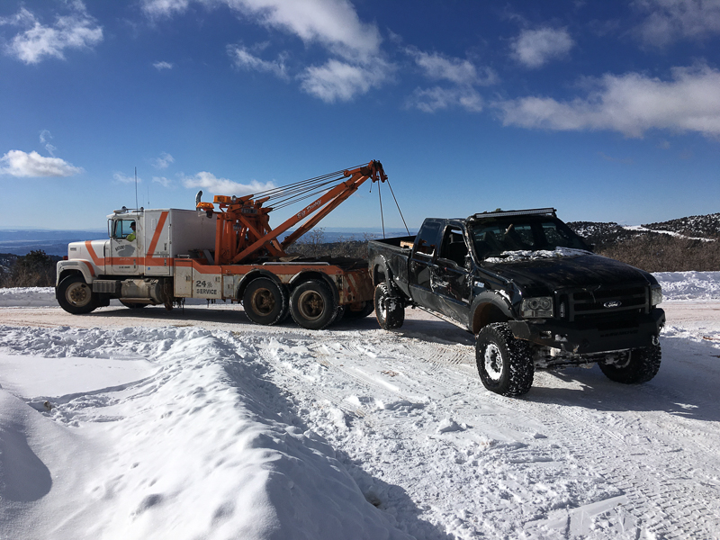
Since the start of the storm, I've seen a couple vehicles that needed tow trucks to extricate them, even along the main, plowed road, so this is a good time to use good judgment.
This is Bruce Tremper, filling in for Eric Trenbeath who is out of town.
Yesterday, we used snowmobiles to get up the Geyser Pass road from the junction with the plowed road. We broke trail on skis to Pre-Laurel Peak to have a look at the avalanche activity during the storm and we were not disappointed (see below).
All the new snow settled into a little over a foot deep. The storm deposited relatively dense, rimed snow and combined with the below zero temperatures, it was a bit stiff and you needed to be on steeper terrain to get going on skis.
Winds, temperature and humidity on Pre-Laurel Peak
New snow totals, temperature and humidity in Gold Basin
Total snow depth and temperature at Geyser Pass Trailhead
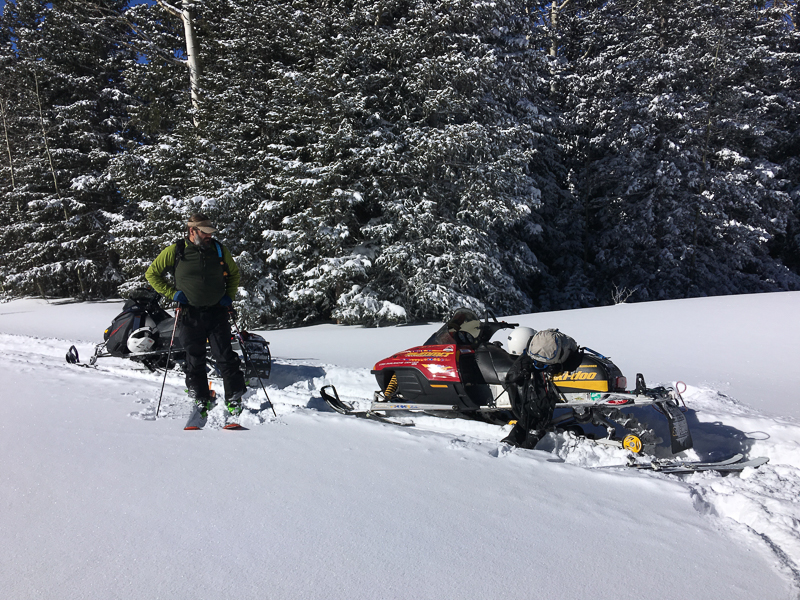
Our transportation choice to access the Geyser Pass trailhead.
I have to admit I'm quite happy that my forecast during the storm was spot on--High danger along with an Avalanche Warning. Most of the avalanche paths on the upper elevation shady aspects avalanched during the storm. There are too many to mention, but we could see lots of activity off Tuk-No, Red Snow Cirque, Middle Cirque, Talking Mountain Cirque and Horse Canyon, to name a few.
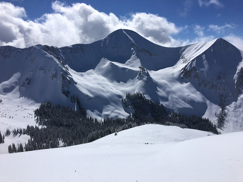
It's hard to see the widespread avalanche activity in these photos because many of them ran in the middle of the storm and subsequent snow covered them up. But the debris piles at the bottom give them away.
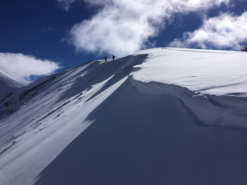
I took this photo from where I'm doing a fracture line profile on the flank of the big avalanche in Horse Canyon. It was about 1-2' deep and perhaps 200 yards wide.
Although this accident happened in central Utah in Huntington Canyon, it's close enough to Moab to pay attention. Yesterday, one of our experienced forecasters for the Utah Avalanche Center triggered an avalanche at 9,000' in burned trees and was injured. HERE is a preliminary report.