Observation: Park City Ridgeline

Observation Date
1/31/2016
Observer Name
Wilson, Hardesty, Jamieson
Region
Salt Lake » Park City Ridgeline
Location Name or Route
Willows, Monitor sneak
Weather
Wind Direction
Southeast
Wind Speed
Light
Weather Comments
Sunny morning, with temps in the teens. Air still enough that surface hoar up to 2cm intact on aspen branches. By afternoon the sky was obscured, a light snowfall began and the wind, while light, had swung to the SE and knocked the feathery crystals off the branches. No transport of snow noted, so unless wind picks up we might not see significant loading on our typically windward starting zones.
Snow Characteristics
New Snow Depth
10"
New Snow Density
Medium
Snow Surface Conditions
Powder
Snow Characteristics Comments

Roughly 20 cm of new snow fell and now overlies a barely perceptible crust that varies greatly between locations. This crust may be simply melt freeze in some aspects/elevations, and refrozen liquid precip. from 1/29 in others. Surface hoar dramatic on branches, present on some snow surfaces, and suspected as culprit in a weak layer. Some small loose dry sluffs observed in Monitors, and small wet activity seen on south facing BCC roadways. Otherwise no activity or instability noted.

Snow Profile
Aspect
North
Elevation
9,400'
Slope Angle
34°
Comments

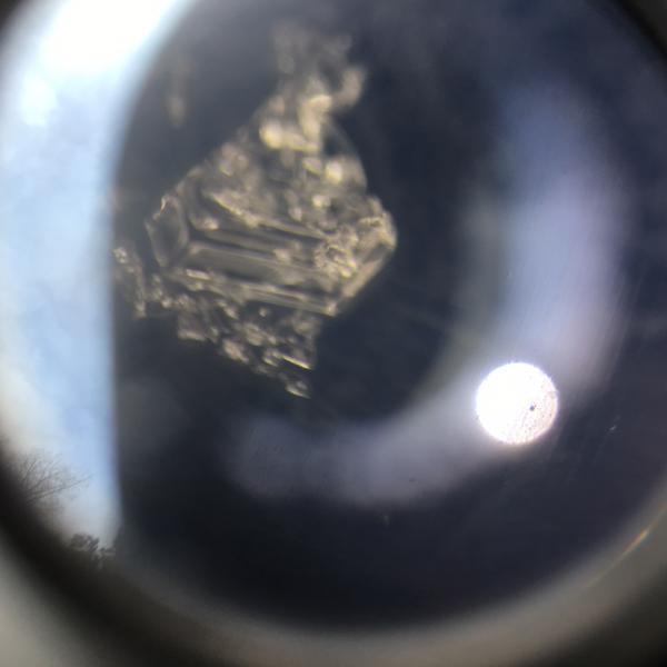
.Looked at top meter of a 195 cm snowpack at 9400’ NNE facing in West Monitor, interested primarily in bonding of new snow to surface, presence of crust from heat or rain, and presence of faceting near the surface. ECTN 18 Q3 30 cm down, below the thin friable melt-forms crust and graupel. This same layer sheared easily at a lower (9000’ nne) site in a shovel tilt test, with the smoothness of the shear and a photo of the SH shown in photos below. In the upper site, the new snow slid on a graupel layer above the melt/rain crust. Not sure whether to attribute 6 mm crust to warmth (did it get warm enough to melt NNE 9,000?) or liquid precip at beginning of this storm (might the rain/snow line have been briefly higher than we thought?). Description of layer: tiny spherical ice particles, averaging 1 mm, that could be easily separated from each other. Take homes:

  • Little action in the older slab
  • Weaknesses exist in graupel above crust, and about 10cm below crust at new/old interface.
  • Currently, no slab on top of those layers. Not necessarily expecting future activity on them.
  • Biggest concern is if wind picks up and starts moving new snow.
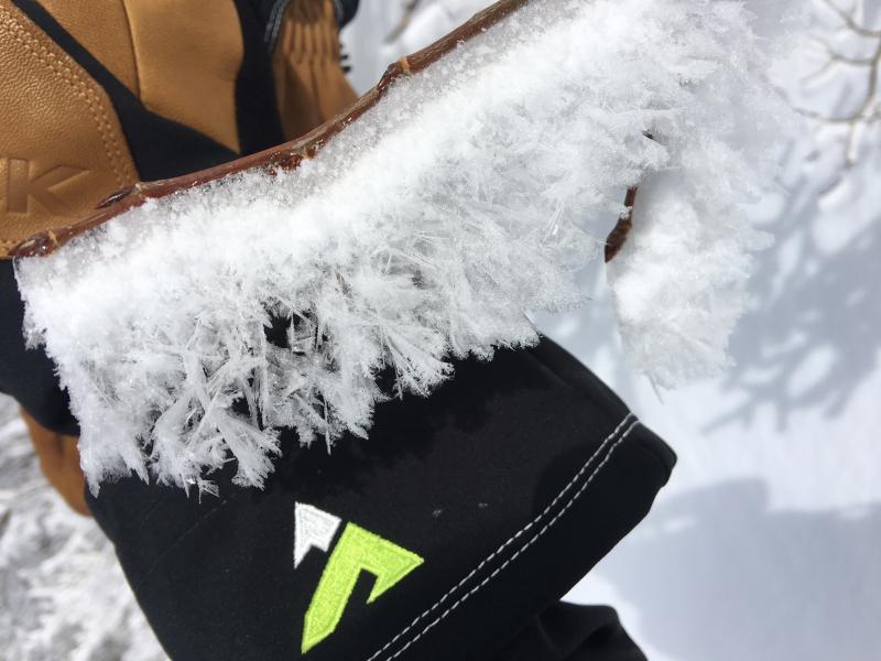
  • .5-1mm feathers noted on the snow surface; expect them to be destroyed by wind

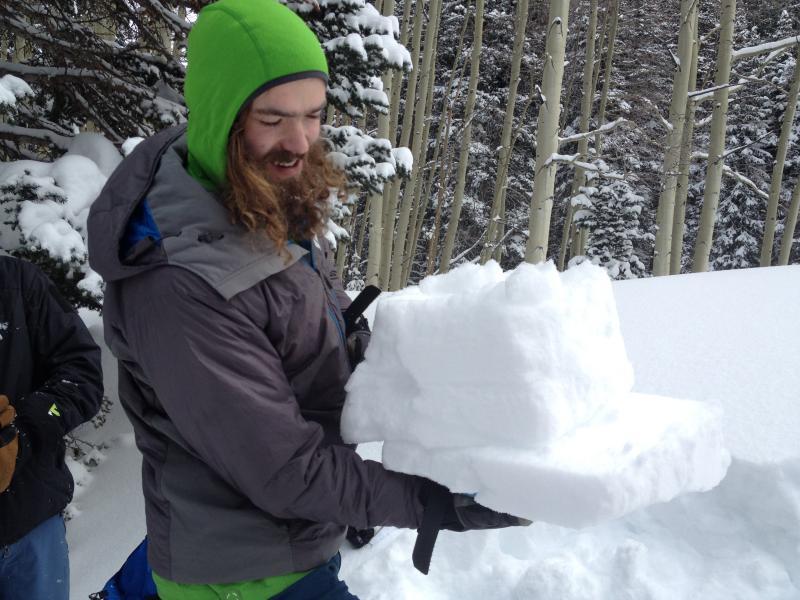
Surface hoar, loose sluff in West Monitor, shovel tilt test shear, layer on which it sheared.

If winds pick up, probably considerable tomorrow

Today's Observed Danger Rating
Considerable
Tomorrows Estimated Danger Rating
Moderate
Coordinates