Forecast for the Moab Area Mountains
Issued by Bruce Tremper for
Sunday, January 31, 2016
Sunday, January 31, 2016
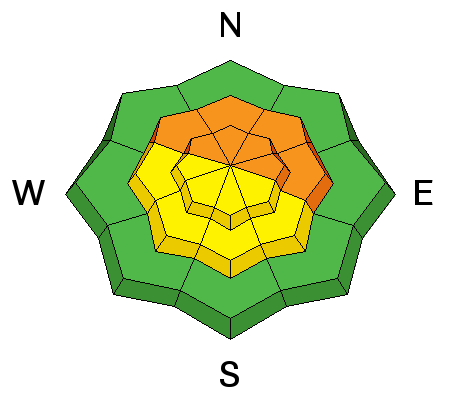
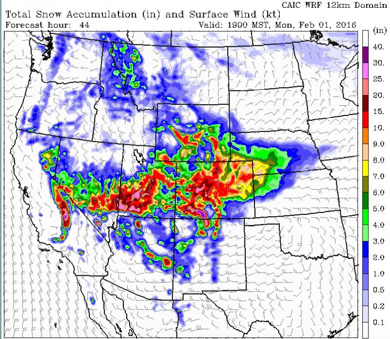
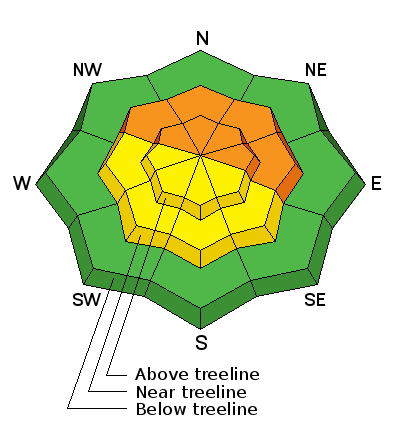
Although the avalanche danger is mostly LOW to MODERATE today, it should rise to CONSIDERABLE overnight and perhaps even to HIGH on Monday with the expected snow. The avalanche danger will depend on the amount of snow and wind we get, so you should monitor the snow amounts on the automated weather stations and on this advisory, which I will update again tomorrow morning.
Low
Moderate
Considerable
High
Extreme
Learn how to read the forecast here