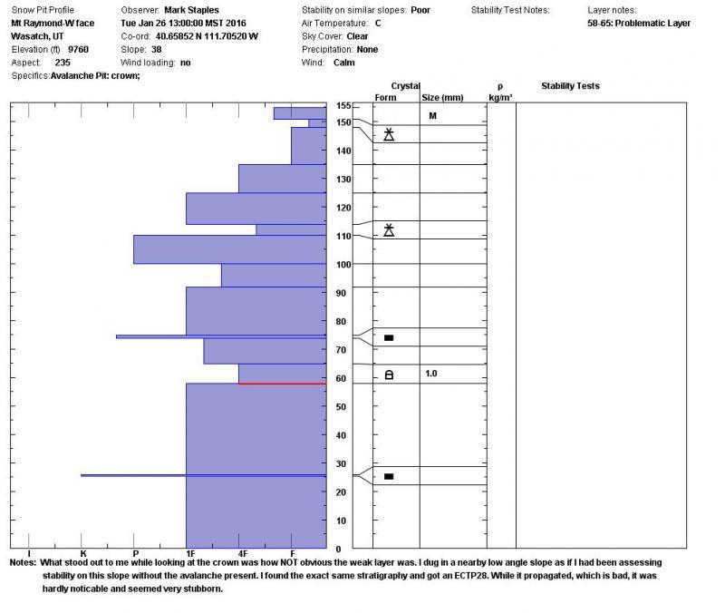
Addition from Tues, Jan 26.
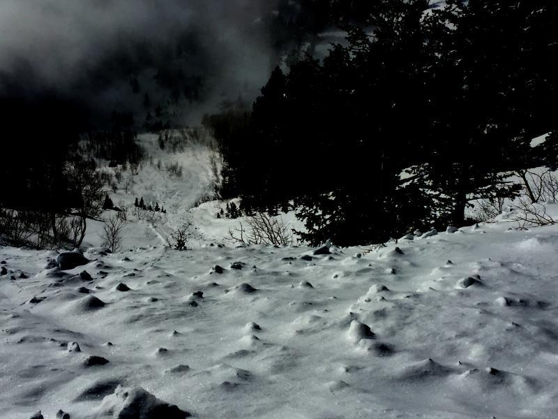
Went to look at this slide. Dug a few pits along the way and dug a pit near the avalanche in a low angle slope where I'd dig to assess the stability of this slope as if it hadn't avalanched.
The scary part is that there are no other signs of instability. Looking at the snow in pits isn't scary either. The snowpack looks pretty strong. ECT's seem to produce ECTN's in the storm layers, and ECTX's in the lower faceted layers. I got one ECTP28 in my pit on a slope adjacent to this slide.
What to do? Stay off anything steep at upper elevations on all aspects. Probably mid elevations too. There is great coverage and great riding on low angle slopes (ones less than 30 degrees in steepness) on the north half of the compass.
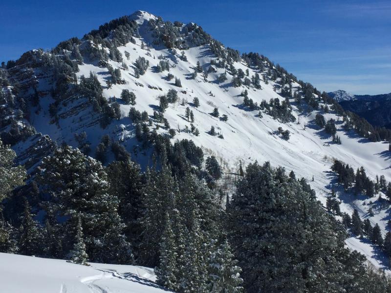
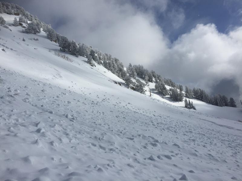
There were two or three areas that released. You can see two in this photo.
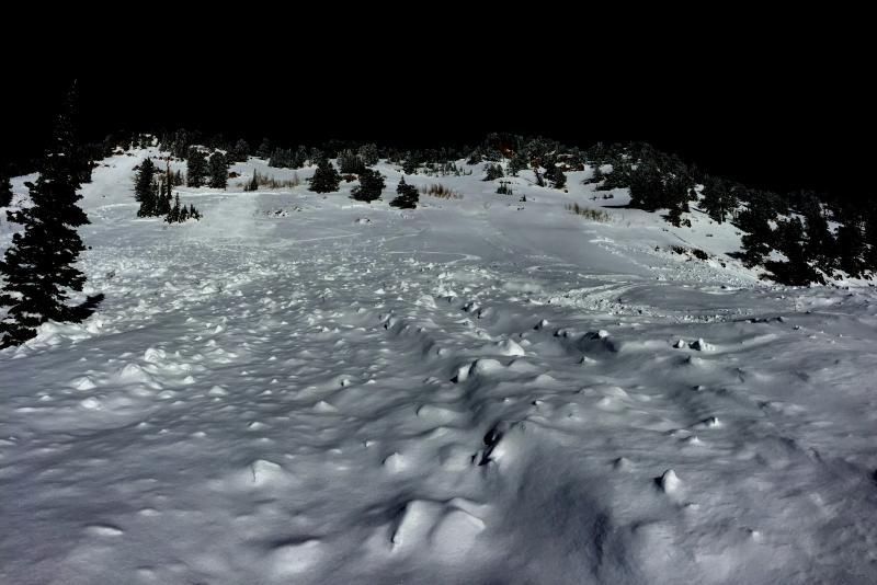
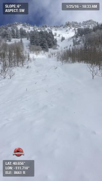
The debris ran a surprising distance as you can see in this photo.
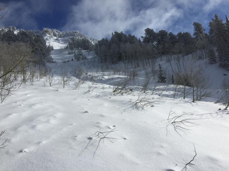
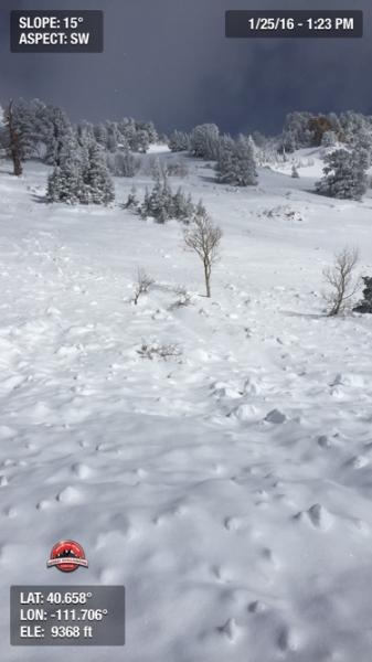
Comments and photo from Nelson Abanto: Probably occurred over night and possibly initiated by a small slide of new snow from higher on Raymond. Heretofore we had considered this a safe area in times or relatively high any danger.