


Forecast for the Skyline Area Mountains

Wednesday morning, January 20, 2016
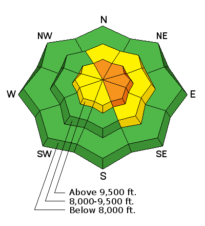
This prolonged period of windy conditions has made things dangerous in the higher terrain. A CONSIDERABLE avalanche danger exists on the higher north through southeast facing terrain. Enough snow has been wind transported to make it possible to trigger an avalanche to the ground again. Slopes that avalanched during the Christmas natural avalanche cycle are suspect as well. Out of the higher terrain where the wind has been blowing the avalanche danger is LOW to MODERATE.
 Recent Avalanches
Here's a video of a snowmobile triggered avalanche near the Ant Knolls in the Provo Region which happened on Sunday. This area has similar snowpack structure to what we see in much of our terrain here on the Manti-Skyline.

Additional Information
General Announcements
We will publish full detailed advisories Saturday and Sunday mornings by 7am. We will also be publishing basic avalanche danger ratings & info during the week.
If you are getting out into the mountains, we love to hear from you! You can SUBMIT OBSERVATIONS ONLINE or EMAIL US
If you would like to have avalanche advisories emailed to you, SIGN UP HERE
We can provide basic avalanche awareness presentations for your school, group or club. To enquire, CLICK HERE