Observation Date
1/5/2016
Observer Name
Kory
Region
Ogden » Ben Lomond » Cutler Ridge
Location Name or Route
Cutler Ridge
Weather
Sky
Obscured
Precipitation
Moderate Snowfall
Wind Direction
Southwest
Wind Speed
Moderate
Weather Comments
Graupel at first than changing over to plates and needles to snow around 10:30
Snow Characteristics
New Snow Depth
2"
New Snow Density
High
Snow Surface Conditions
Powder
Snow Characteristics Comments
New snow is bonding well with old snow. I was worried because the new snow had faceted down low with the cold snowpack but up above the inversion it has seemed to be ok. We also did not get the wind affect that the slc mountains did.
Red Flags
Red Flags
Poor Snowpack Structure
Red Flags Comments
I had no results on ECT today Ct 22 and 24, 10cm off the ground HS 112cm
Avalanche Problem #1
Problem
Persistent Weak Layer
Trend
Decreasing Danger
Problem #1 Comments
It has to be out there somewhere still. Just need to find the correct trigger spot.
Avalanche Problem #2
Problem
New Snow
Trend
Increasing Danger
Problem #2 Comments
In some areas with the 5 in we might get this week and the weak old snow surface.
Snow Profile
Aspect
North
Elevation
8,200'
Slope Angle
15°
Comments
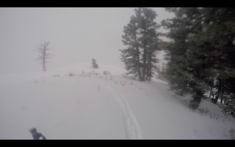
Poor visibility, (sorry not more pictures) Wind was not blowing as hard as it usually does on Cutler. I am amazed at the difference from the Ogden mountains to the SLC mountains and the wind effect that took place on Friday Jan 1.
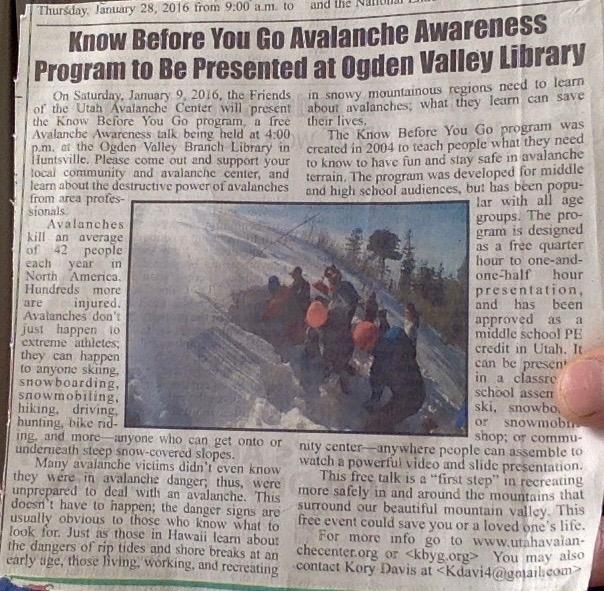
"Know Before You Go" Huntsville Library Jan 9th 4:00pm Free class!!!!
Ogden Valley News Article.
Today's Observed Danger Rating
Moderate
Tomorrows Estimated Danger Rating
Moderate