We traveled around the Electric Lake area today on a variety of aspects. There were two take home points that we noticed.
- The snowpack around Electric Lake is quite shallow (genrally less than 3' total depth) and holds very weak snow near the ground still. This is a much weaker snowpack than other areas along the Skyline where the total depth is closer to 4'.
- We skied on a slope that naturally avalanched on Dec 22nd. What should be noted is that the bed surface still consists of very weak sugary faceted snow. It is possible that it could avalanche again on those weak snow grains near the ground if it receives the right new snow load in the future.
I intend to go visit a number of other natural avalanches from that same cycle and look at the bed surfaces to see if they also still hold weak snow. If this is the case, this is a good clue that these slopes may be prone to avalanching again this season. Stay tuned!!
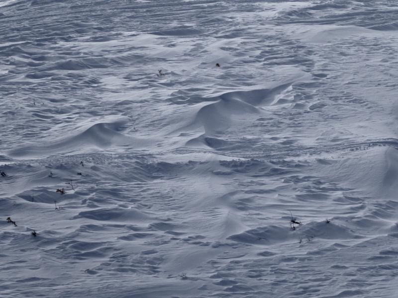
Below, extensive wind damage. Any time you see this type of snow surface it is a clue that snow has been drifted and transported somewhere. Fresh drifts on steep slopes are often very sensitive to a person or a sled rider:

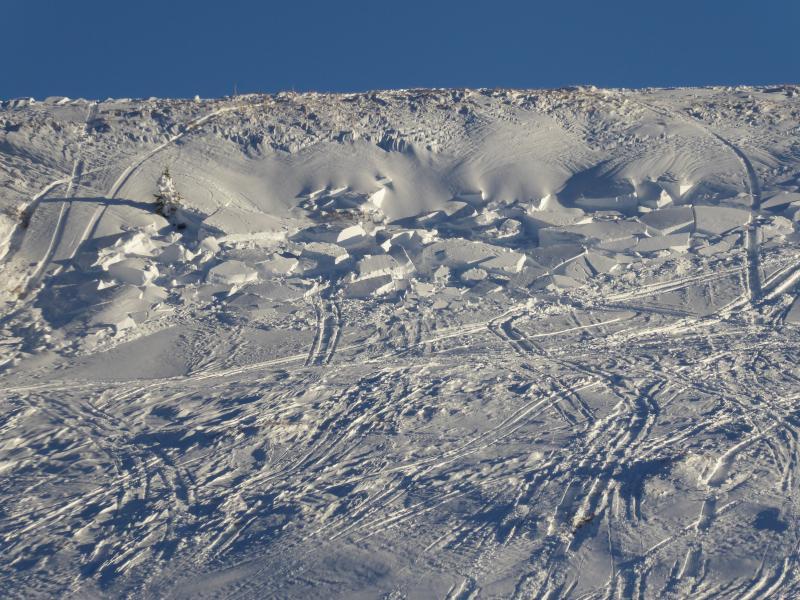
Below, small sled triggered pocket near the Skyline Summit just off of SR 31. No serious consequences here but it does demonstrate that the recently drifted snow is sensitive. It is very possible that there may be larger pockets out there along the higher terrain that could produce a more dangerous avalanche still on Sunday.


