Observation: Reynolds Peak

Observation Date
12/25/2015
Observer Name
Wilson, Slack, Hardesty
Region
Salt Lake » Big Cottonwood Canyon » Mill D North » Butler Fork » Reynolds Peak
Location Name or Route
Reynolds
Weather
Sky
Obscured
Precipitation
Light Snowfall
Weather Comments
Temps dropped from 9° to 2° F on this chilly Dusk Patrol tour. With only the slightest hint of NW wind, new snow fell undisturbed and likely masked yesterday's wind drifts.
Snow Characteristics
New Snow Depth
3"
New Snow Density
Low
Snow Surface Conditions
Powder
Snow Characteristics Comments

Three inches of light snow might provide the final touch to our two weeks of snow. Total HS was 150 cm on north facing Reynolds Glade at 9,000 feet, with 90cm now sitting above the Dec 17th rime/freezing rain event! The snow seemed basically right-side-up, but included two shearing planes and at least one subtle inversion.

No ECT performed, but bottom 40 cm of 4 finger facets below decomposed fragments remains a recipe for persistent (even deep?) slab avalanches.

Of note: snow above and below rime crust seems well bonded to the crust on Reynolds. Bouncing a block of snow that included the icy layer failed to separate slab from crust.

Red Flags
Red Flags
Recent Avalanches
Heavy Snowfall
Wind Loading
Poor Snowpack Structure
Red Flags Comments
Reynolds East Face didn't show sign of a recent slide, though the shoulde may have avalanched earlier and since covered in new snow--hard to tell. No cracking or collapsing observed this afternoon, no current wind loading (although decreasing danger from yesterday's wind slabs likely persists and potential for loading tomorrow exists), and 3 low-density inches of new snow added little weight to the snowpack.

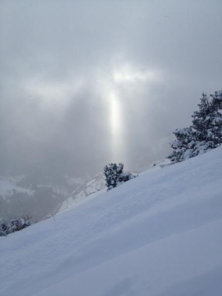
Gratuitous "Christmas Light" photo.

Happy holidays!

Today's Observed Danger Rating
Considerable
Tomorrows Estimated Danger Rating
Considerable