
Forecast for the Abajo Area Mountains

Issued by Eric Trenbeath for
Wednesday, December 23, 2015
Wednesday, December 23, 2015
Today the avalanche danger is CONSIDERABLE. This means that natural avalanches are possible and human triggered avalanches are likely. New snow combined with strong winds have created unstable avalanche conditions, particularly on upper mid to upper elevation northerly facing aspects. Stay off of and out from under steep slopes today. Backcountry travel is not recommended for folks who do not have excellent route finding and avalanche awareness skills.
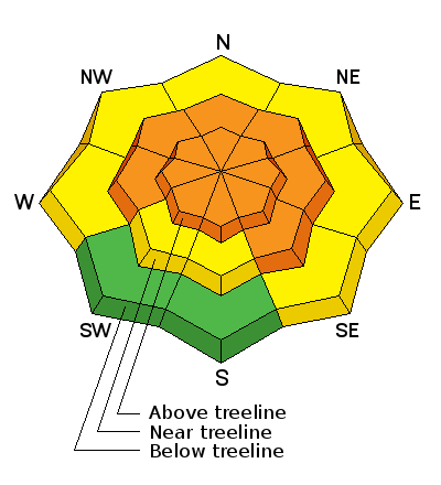
Low
Moderate
Considerable
High
Extreme
Learn how to read the forecast here