Check out our Holiday Auction - Sign Up for the Utah Snow and Avalanche Workshop (USAW)

Forecast for the Skyline Area Mountains

Brett Kobernik
Issued by Brett Kobernik on
Friday morning, December 11, 2015

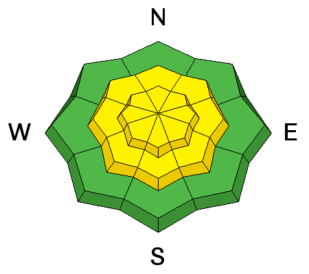
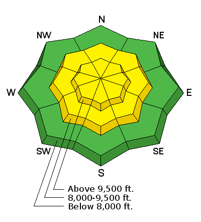
The avalanche danger is MODERATE today. Human triggered avalanches are possible. These will be scattered along the higher terrain mostly on east facing slopes. With no real significant weather in the forecast over the weekend, the avalanche danger should stay the same or perhaps become less dangerous.
Low
Moderate
Considerable
High
Extreme
Learn how to read the forecast here
Ad
Avalanche Problem #1
Wind Drifted Snow
Type
Location
Likelihood
Size
Description

The new snow coupled with wind most likely created some new wind drifts overnight. These new drifts may be large enough to cause concern. Look for rounded and or 'pillowy' looking drifts. In safe terrain, prod at them a bit to see how sensitive they are. Look for cracking which is an obvious clue of instability.

Additional Information

General Announcements

We will publish full detailed advisories Saturday and Sunday mornings by 7am. We will also be publishing basic avalanche danger ratings & info during the week.

If you are getting out into the mountains, we love to hear from you! You can SUBMIT OBSERVATIONS ONLINE or EMAIL US

If you would like to have avalanche advisories emailed to you, SIGN UP HERE

We can provide basic avalanche awareness presentations for your school, group or club. To enquire, CLICK HERE