Forecast for the Skyline Area Mountains

Brett Kobernik
Issued by Brett Kobernik for
Monday, November 30, 2015

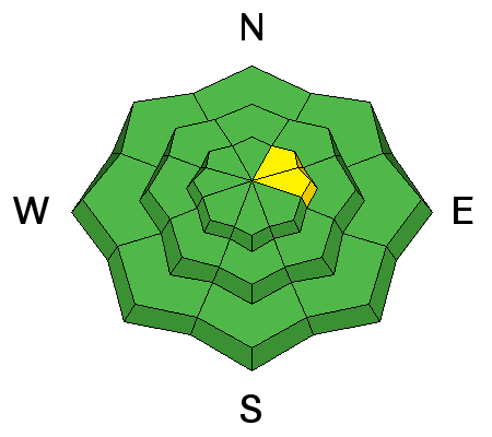
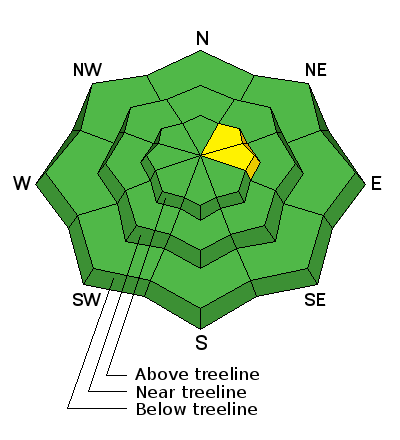
The avalanche danger in most areas is LOW today. An increase in wind along the higher terrain may drift snow into some sensitive pillows. Be aware of any fresh drifts along the upper ridges mostly on east facing steep slopes.
Low
Moderate
Considerable
High
Extreme
Learn how to read the forecast here
Ad
Avalanche Problem #1
Wind Drifted Snow
Type
Location
Likelihood
Size
Description

Thin snow cover does not allow for much travel off of the Forest Service roads at this time. Hidden rocks and stumps pose the greatest threat in the backcountry right now. Keep in mind that the wind may drift the new snow into some wind slabs that may release if provoked.

Additional Information

General Announcements

We will publish full detailed advisories Saturday and Sunday mornings by 7am. We will also be publishing basic avalanche danger ratings & info during the week.

If you are getting out into the mountains, we love to hear from you! You can SUBMIT OBSERVATIONS ONLINE or EMAIL US

If you would like to have avalanche advisories emailed to you, SIGN UP HERE

We can provide basic avalanche awareness presentations for your school, group or club. To enquire, CLICK HERE