Planned Website Outage: The UAC website will be down for maintenance on June 17 from 2:00 - 7:00 PM MT.

Observation: Ogden Mountains

Observation Date
11/15/2015
Observer Name
Doug Wewer
Region
Ogden » Ogden Mountains
Location Name or Route
Mt. Ogden
Weather
Sky
Clear
Wind Direction
South
Wind Speed
Moderate
Snow Characteristics
Snow Surface Conditions
Faceted Loose
Wind Crust
Melt-Freeze Crust
Damp
Snow Characteristics Comments

Above 8500', I found a mixed bag of snow surfaces. 6-10" average total snow depth. In sheltered areas, snow is Fist to 4F and the newest snow is starting to facet. I found a variety of wind crusts in wind exposed areas and on the ridge line. On Southeast aspects, the snow surface was sun crusted. Below 8,500', the Southeast aspect was already damp by 10am.

In general, the newest snow (Nov. 9-10 storm) is not as weak as I expected it to be. Since mid-day Friday, the mid and upper elevation temperatures have been near or above the freezing mark, likely slowing the faceting process. The basal facets remain, however, and do not appear to be gaining any strength yet.

Comments

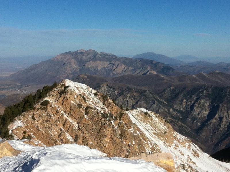
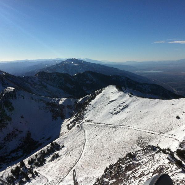
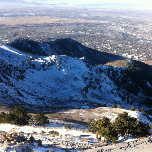
Snowcover photos of south aspects in the Ogden Mountains, prior to the 11/16 forecasted storm. Most true South and Southwest aspects have burned off again, even to the highest peaks. Photos taken from Mt. Ogden looking North.

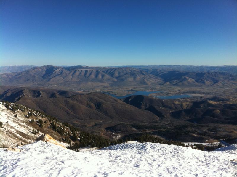
The northerly aspects, however, have held what little snow has fallen. Photos taken from Mt. Ogden looking South.

Today's Observed Danger Rating
Low
Tomorrows Estimated Danger Rating
Low