With spring conditions in full effect, this advisory will be updated on Monday and Friday barring a significant change in the weather and or avalanche conditions. Conditions are generally predictable at this time with daytime heating increasing the danger for wet slide activity. Timing is everything and it is important to be off of steep slopes as they become wet and sloppy.The presence of an overnight freeze helps to stabilize conditions each day. The lack of a re-freeze constitutes a trend of continued instability. Check the weather links under current conditions for current and overnight temperatures.
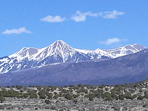
La Sal Mountains
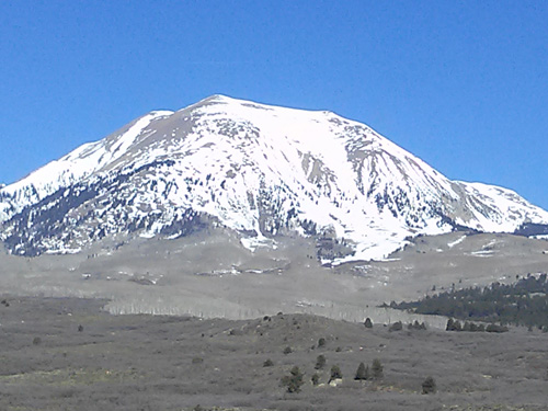
A couple inches of new snow fell at the highest elevations earlier in the week providing a a surprising refresher to upper elevation northerly aspects that are still harboring some dry snow. This dusting has quickly melted into the rest of the pack in all other areas, and spring conditions remain in effect. We continue to have solid refreezes overnight but temps this weekend are going to be scorching climbing into the mid 50's at 10,000'. Good corn conditions exist on SE through SW aspects. The difficulty comes in finding one of these slopes that still has snow on them.
Dry snow up high still exists for the intrepid.
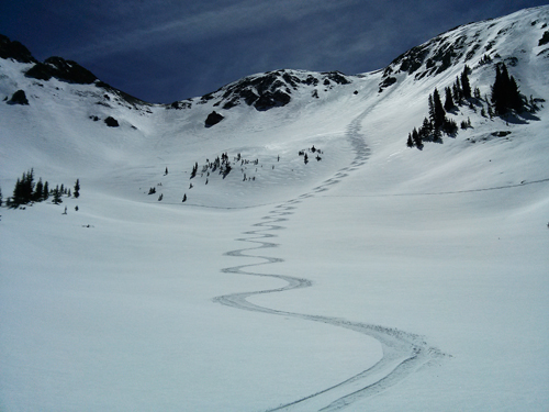
3000' of good corn snow still remains on the SE Face of Mount Peale. Could be the last weekend.
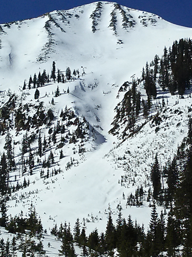
Tuklear Reaction, the prominent gully off the summit of Mount Tukunikivatz is looking very thin.
Though currently in a transition snow phase, Moab Lanes on the NE face of Tukno is setting up nicely.
La Sal Weather Data
Wind speeds and temperature at 11,700' on Pre-Laurel Peak.
New snow totals and temperature at Geyser Pass Trailhead.
New snow totals and temperature in Gold Basin.
Abajo / Blue Mountains
Spring conditions and overall low coverage remain the order in the Abajos.
Abajo / Blue Mountains Current Weather
Winds and temperature on Abajo Peak.
Snow total at Buckboard Flat.