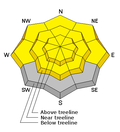
This advisory has been formulated from field work performed over the weekend of March 14-15 and weather observations taken on Monday, March 16. It is to be used as a baseline and backcountry travelers will need to from their own hazard analysis over the next several days based on current weather conditions. Spring like conditions are in effect and timing is everything in the mountains right now as daytime heating increases the risk for wet slide activity. Pay attention to overnight low temperatures by using the links provided under current conditions. The lack of a good solid re-freeze overnight also increases the risk. The next advisory will be posted on Friday, March 20.
La Sal Mountains
Upper elevation, dry snow conditions were affected a little by last Friday's NE winds, but soft, settled snow can still be found up there. All things considered, riding and skiing remains quite good. All sun exposed slopes are crusted over but will soften as the day progresses. SW winds picked up this morning and are averaging 15-25 mph. Overnight lows dropped to right around freezing on Pre Laurel Peak and in Gold Basin. It is going to get warm fast today however with temps at 10,000' rising to near 50 degrees.
La Sal Mountains Current Weather
Wind speeds and temperature at 11,700' on Pre-Laurel Peak.
New snow totals and temperature at Geyser Pass Trailhead.
New snow totals and temperature in Gold Basin.
Abajo / Blue Mountains
Mixed bag conditions and overall low coverage remain the order in the Abajos. Northerly aspects at upper elevations have as much as 4' of snow, while wind and sun exposed slopes are still showing rocks and grass.
Abajo / Blue Mountains Current Weather
Winds and temperature on Abajo Peak.
Snow total at Buckboard Flat.