Observation: West Beaver Perimeter

Observation Date
3/12/2015
Observer Name
Weed
Region
Logan » Franklin Basin » West Beaver Perimeter
Location Name or Route
West Beaver Mt. Perimeter, ('94 Burn)
Weather
Sky
Overcast
Precipitation
Light Rain
Wind Direction
Northwest
Wind Speed
Light
Weather Comments
obscurred with periods of rain showers, mild temps
Snow Characteristics
New Snow Depth
1"
New Snow Density
High
Snow Surface Conditions
Damp
Red Flags
Red Flags
Rapid Warming
Poor Snowpack Structure
Avalanche Problem #1
Problem
New Snow
Trend
Same
Problem #1 Comments

Warmth causing increased creep and glide rates, and slab softening occurring. Always suspect change affecting the snow pack. Avalanches possible in steep terrain with poor snow structure. Suspect outlying, previously drifted terrain, especially in shallow, rocky areas.

Avalanche Problem #2
Problem
Wet Snow
Trend
Increasing Danger
Problem #2 Comments

Wet avalanches are possible with midday heat on steep slopes with softening saturated surface snow.

Snow Profile
Aspect
West
Elevation
8,600'
Slope Angle
23°
Comments

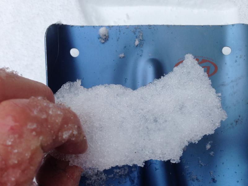
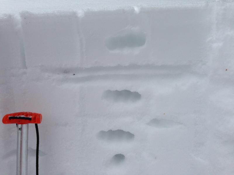
Snow in this area is rather shallow and week. Prominent NSF layers at around 20 cms from surface on either side of a thin m/f crust, and also below..

Snow still dry and weak in shady areas, but moist and with more solid m/f crusts in more sunny areas.

Today's Observed Danger Rating
Moderate
Tomorrows Estimated Danger Rating
Moderate
Coordinates