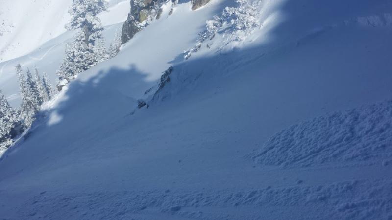
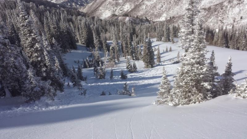
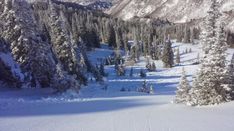
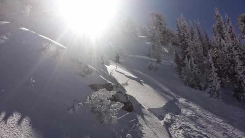
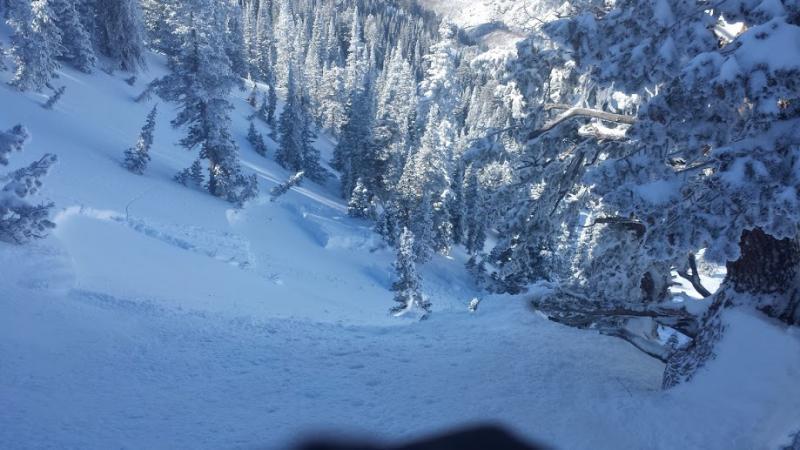
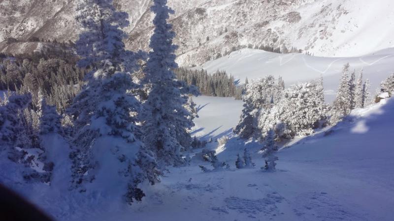
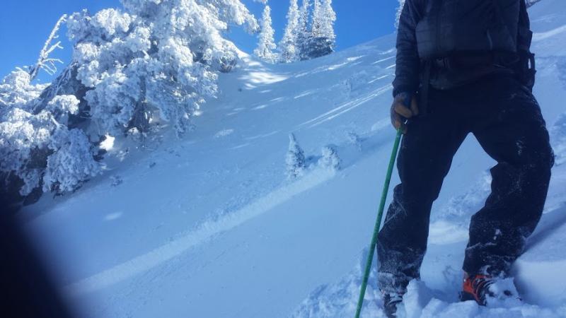
I triggered a slide in the Snowbasin Periphery today. I contacted the Snowbasin patrol when it occurred. It was intentionally triggered on a ski cut. I am just mad that I made the decision to ski cut a slope that I knew might avalanche. I am a very conservative skier and was pulled in to steeper terrain because of the great skiing conditions and beautiful weather. It was also very familier terrain We had talked about the plan and carried it out. The slide broke about a foot below my ski cut. I was already in a safe zone when the avalanche stated to really propagate and move. Super slow moving avalanche also. It was a very manageable avalanche and in forgiving terrain but it did propagate way more than I expected. The slide was triggered on the old snow new snow surface from the pre -friday snow surface. It was a very soft slab avalanche at the hardest it was 4F+ and that was right at the new snow/old snow surface with fist above that with just blower powder on top. I am not sure if this is the same layer that was triggered in the Lust/Forbidden Fruit accident today. This was a storm slab avalanche I do not think it had anything to do with a persistent weak layer. This avalanche occurred at aprox. 8,900 Feet on a NW aspect. I have some pictures but they did not turn out very well. The avalanche was about 20-25 centimeters deep and was triggered in about a 15 meter pocket which propagated lower through some rocks to about 60 Meters. Elevation 8940' Slope 38° Aspect 288°
Datum is WGS84
Decimal Degrees
41.1766, -111.8717
