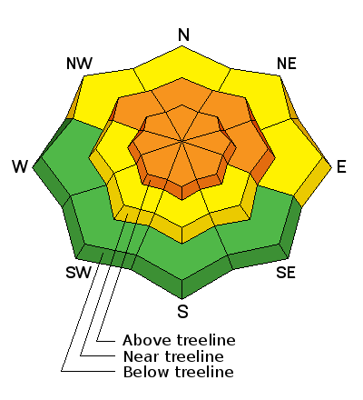
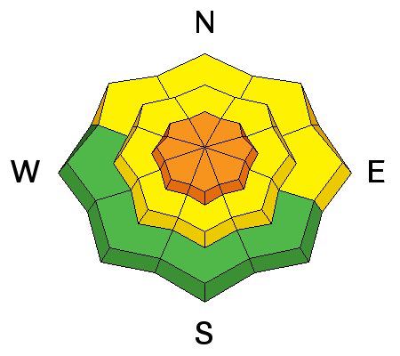
La Sal Mountains
Winds have been up over the past couple of days blowing in the 15-30 mph with gusts into the mid 40's mostly from the WSW, but occasionally swinging northwesterly. Last weekend's storm only delivered 5" of new snow on top of a very variable surface, much of which will be exposed again by the wind. Above and around tree line, expect to find alternating areas of scoured and wind drifted snow. Sheltered, shady aspects offer the best turning conditions though you can still feel the bottom in most places.
La Sal Mountains Current Weather
Wind speeds and temperature at 11,700' on Pre-Laurel Peak.
New snow totals and temperature at Geyser Pass Trailhead.
New snow totals and temperature in Gold Basin.
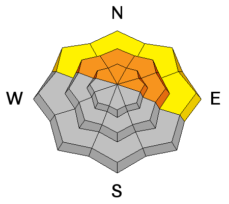
Abajo / Blue Mountains
Winds on Abajo Peak have backed off this morning but have been blowing in the 20-30 mph range with gusts into the 40's over the past couple of days from the WNW. The Abajos received 15-20" of much needed snow from last weekend's storm so there is a lot of it to get blown around. Today, expect to find drifted and wind affected snow in exposed areas, and deep powder conditions in sheltered locations. Snow conditions were extremely low prior to this storm and most sun exposed aspects were melted down to the ground so beware of recently buried obstacles such as rocks and stumps.
Thanks to Brian Sparks for this observation from the old Blue Mountain Ski Area.
Abajo / Blue Mountains Current Weather
Winds and temperature on Abajo Peak.
Snow total at Buckboard Flat.