Forecast for the Moab Area Mountains

Issued by Eric Trenbeath for
Saturday, February 14, 2015
Saturday, February 14, 2015
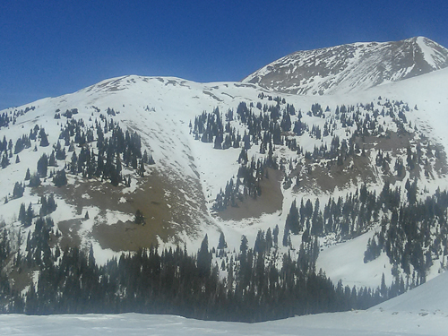
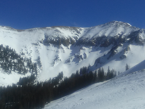
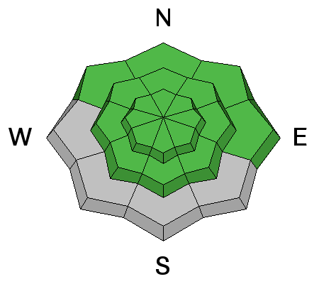
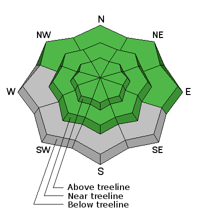
The avalanche danger is generally LOW at this time but low danger doesn't mean no danger. With daytime heating the potential for wet slide activity exists on sun exposed slopes. There also remains an isolated possibility for triggering a buried persistent slab on steep shady aspects in more extreme upper elevation terrain, particularly in rocky areas that have a thin shallow snowpack.
Low
Moderate
Considerable
High
Extreme
Learn how to read the forecast here