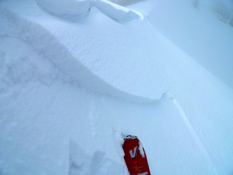
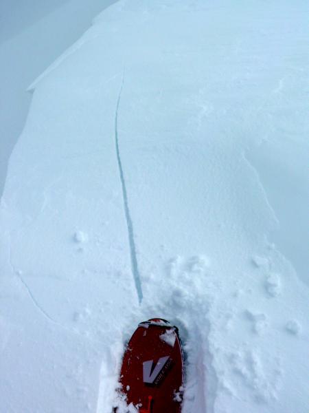
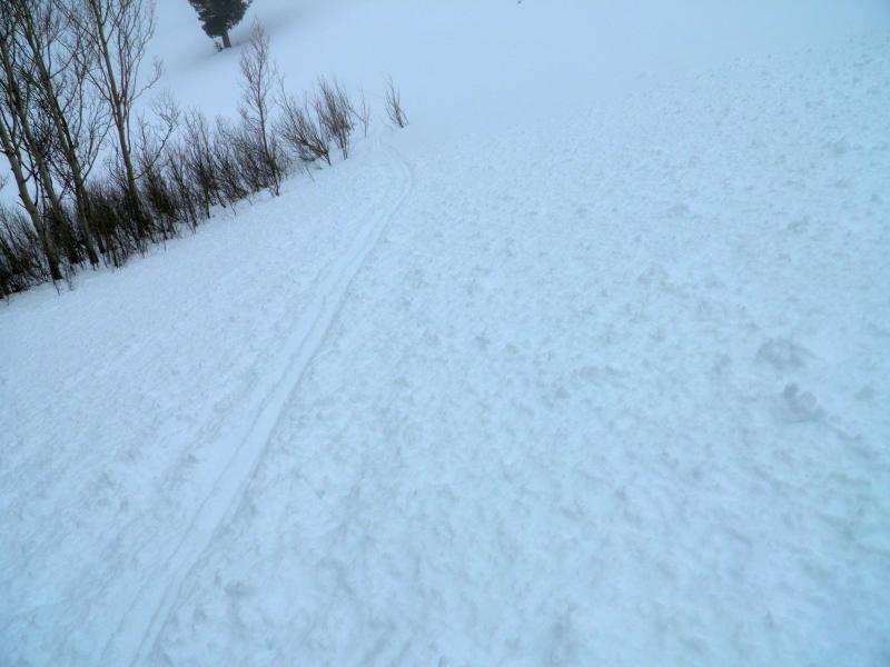
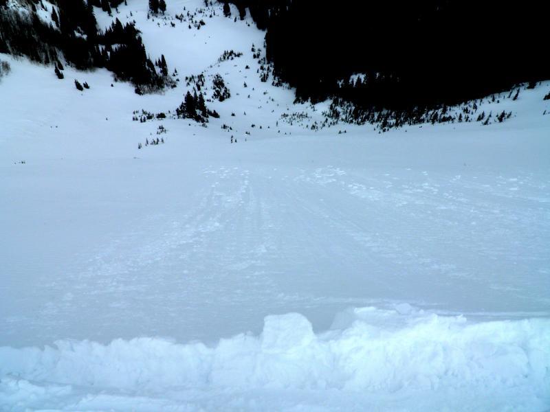
Figured an inch of snow was better than no snow, but it didn't do a whole lot to change conditions except in the few areas with pre existing soft snow which are few and far between. New snow seemed to bond well to most surfaces, with the exception of steep hard wind loaded slopes, and where it was sitting on a steep slope with old faceted snow under it. I could pop out a few winds slabs in the exposed steep loaded terrain, very minor and I could get surface sluffing to run quite a ways in the steep faceted terrain also minor. Damp snow below 8600ft was roller balling and quite saturated as was the snow underlying it. Also could get some cracking on the ridge line, and the cornices were damp and droopy. Photos, wind slab in steep wind loaded terrain with a hard bed surface, sluffing in steep faceted terrain, cracking on the ridge line, natural occurring roller balls below 8600ft, small soft slab debris.


