Planned Website Outage: The UAC website will be down for maintenance on June 17 from 2:00 - 7:00 PM MT.

Observation: White Pine

Observation Date
1/28/2015
Observer Name
Bruce Tremper
Region
Salt Lake » Little Cottonwood Canyon » White Pine
Location Name or Route
White Pine to base of Lake Peak
Weather
Sky
Obscured
Precipitation
Light Snowfall
Wind Direction
West
Wind Speed
Light
Weather Comments
Did a quick trip up White Pine to the base of Lake Peak and did not go higher because of fog and poor visibility. Very foggy most of the day. I could occasionally get glimpses of the mountains earlier in the day but completely foggy above about 7,000' after about 11 am. Light wind, warm temperature in the upper 20's with occasional very light snow.
Snow Characteristics
New Snow Depth
1"
New Snow Density
Low
Snow Surface Conditions
Powder
Dense Loose
Faceted Loose
Wind Crust
Melt-Freeze Crust
Damp
Snow Characteristics Comments

Just an inch of snow can make a lot of difference, especially when the snow surface conditions are so bad to begin with. There's been only one significant storm in January and it looks like we'll get to the end of the month without another. The snow surface shows. Under the skiff of new snow, there's various kinds of sun and wind crusts with damp snow below about 8,500' and there's still some dry, loud powder (near-surface faceted snow) on north-east above about 9,000' on slopes steeper than 30 degrees. Good luck finding slopes that are not already tracked out, but if you do, it's actually pretty good. If you didn't know better, you might call it powder.

Red Flags
Red Flags Comments
No red flags. Low danger On Thursday, we are supposed to have mostly clear skies, so the sun may create some small, sluffs within what little new snow we have right now. It's hard to get too excited about sluffs from one inch of new snow. But hey, it's the only excitement in town right now. I was hoping that the record high temperatures from a couple days ago would have completely destroyed the near surface faceted snow but the upper elevation, sun and wind sheltered slopes still have some fine grained faceted snow that could be a weak layer if we ever get a slab on top of it. It's much less fragile than before the big warmup, but it's still there. There's also some faceted snow under some of the sun and wind crusts that could be a localized problem if we every get a slab. But it's Low danger right now.

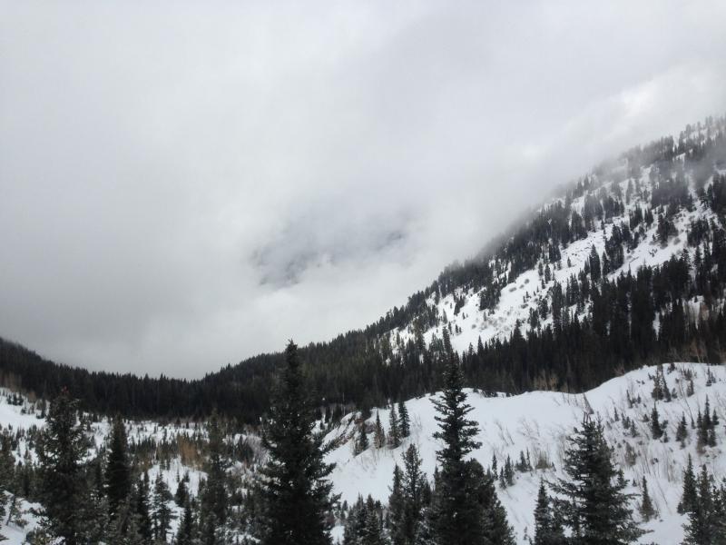
This is about as clear as it got today, which was in the morning. After this, the fog and clouds filled up all of Little Cottonwood Canyon for the rest of the afternoon, making for a gloomy day.

Today's Observed Danger Rating
Low
Tomorrows Estimated Danger Rating
Low