

Forecast for the Uintas Area Mountains

Sunday morning, January 25, 2015
In general most terrain offers a LOW avalanche danger.
If you're getting into steep, technical terrain, at upper elevations in the wind zone, there may be an old, tired wind slab or two that'll be reactive to the weight of a rider.
 Special Announcements
We just released an exciting, new avy safety video designed specifically for snowmobilers - Knowledge is Powder. https://vimeo.com/113677686
NEW THIS YEAR: You can now receive advisories by email for each region in the state. Go here for details.
 Weather and Snow
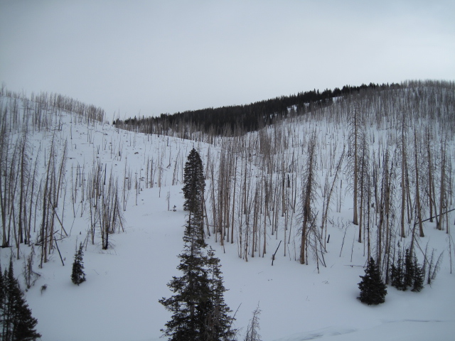
High pressure over the region allowed skies to clear overnight. Northeast winds continue to blow in the 20's and 30's along the high ridges and temperatures are in the low to mid 20's. Riding and turning conditions are hit or miss, but shady, wind sheltered slopes still offer soft, settled snow.
Ted was in Millcreek Friday where the gray bird was singing. More on his travels here.
Click here for real-time temperatures, snowfall, and winds.
 Recent Avalanches
No recent avalanche activity to report.

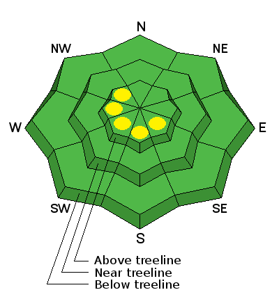
Persistent Weak Layer
Description
There's really not much snow to blow around, but the Uinta's are a big place and there may be a lingering drift or two along the leeward side of upper elevation ridges. While mostly manageable in size and depth, if you're in steep, committing terrain, even a small slide can knock you off your feet or roll your machine.
Additional Information
Winds start to diminish as the day progresses and it'll be dry and warm through Monday with daytime highs in the 30's. A moist storm slides northward from southern California on Tuesday, giving us a shot of snow that should linger into Thursday. Not a big storm, though we should be able to squeeze 6" out of it. Computer models have a tough time with the trend for the latter half of the week.
General Announcements
Remember your information can save lives. If you see anything we should know about, please participate in the creation of our own community avalanche advisory by submitting snow and avalanche conditions. You can call me directly at 801-231-2170, email [email protected], or email by clicking HERE
This is a great time of year to schedule a free avalanche awareness presentation for your group or club. You can contact me at 801-231-2170 or email [email protected]
Donate to your favorite non-profit –The Utah Avalanche Center. The UAC depends on contributions from users like you to support our work.
Benefit the Utah Avalanche Center when you buy or sell on ebay - set the Utah Avalanche Center as a favorite non-profit in your ebay account here and click on ebay gives when you buy or sell. You can choose to have your seller fees donated to the UAC, which doesn't cost you a penny.
Utah Avalanche Center mobile app - Get your advisory on your iPhone along with great navigation and rescue tools.
The information in this advisory is from the US Forest Service which is solely responsible for its content. This advisory describes general avalanche conditions and local variations always occur.
I will update this advisory by 7:00 AM Wednesday Jan. 28, 2015.