Observation: Mineral Fork

Observation Date
1/1/2015
Observer Name
T Diegel
Region
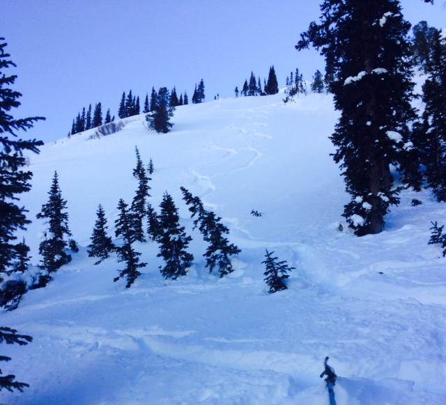
Salt Lake » Big Cottonwood Canyon » Mineral Fork
Location Name or Route
Lower Mineral
Weather
Sky
Clear
Wind Direction
East
Wind Speed
Moderate
Weather Comments
still a bit of east wind early in the day, died out in the afternoon.
Snow Characteristics
New Snow Depth
9"
New Snow Density
Medium
Snow Surface Conditions
Powder
Faceted Loose
Wind Crust
Snow Characteristics Comments

the copious new snow has settled a lot; the little cones around the plants are now nearly a foot tall! Up higher on the mineral sub ridges there was a bit of wind caking, but not bad. However, it seemed to us that while the snow is good, it's already turning facety due to cold temps and wind. ie our next storm will likely be sitting on some high quality sugar.

Red Flags
Red Flags
Wind Loading
Red Flags Comments
Still some wind loading happening with that east wind; possibly cross-loading gullies so we avoided exposure to those most-exposed to that potential.
Avalanche Problem #1
Problem
Persistent Weak Layer
Trend
Decreasing Danger
Problem #1 Comments

Given the wind there seemed to be potential for the steep NW-facing lines to have some wind slabbage. However, we saw some folks push up high onto a 38 degree NW facing, wind-loaded slope just below the main ridge to get those precious extra 7 steeper turns and nothing happened; good on them (pic attached).

If the wind continues to be dropping/low I expect the danger of those breaking out could will drop at a commensurate rate, if they do indeed exist at all.

Avalanche Problem #2
Problem
New Snow
Trend
Same
Problem #2 Comments

as I am acutely aware, that persistent slab instability on high-north is lurking. And bringing down a windslab could make for a step-down. Hence our decision to keep our slope angles low and our exposure to wind/cross loading low today.

When will that "go away"? when the "last one" is triggered?

Today's Observed Danger Rating
Moderate
Tomorrows Estimated Danger Rating
Moderate