


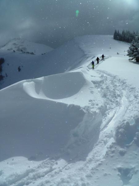
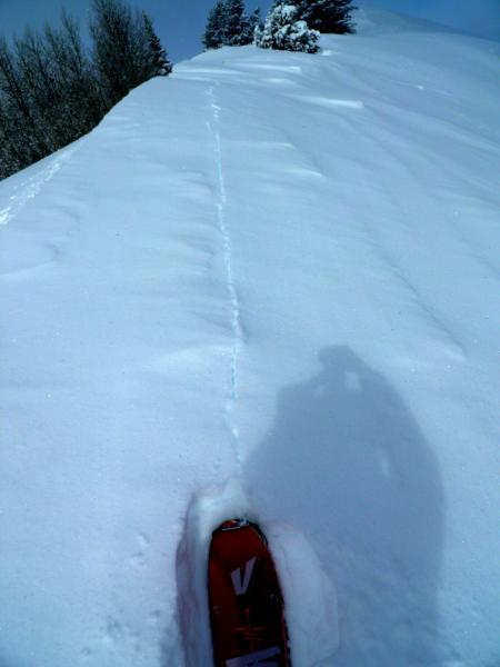
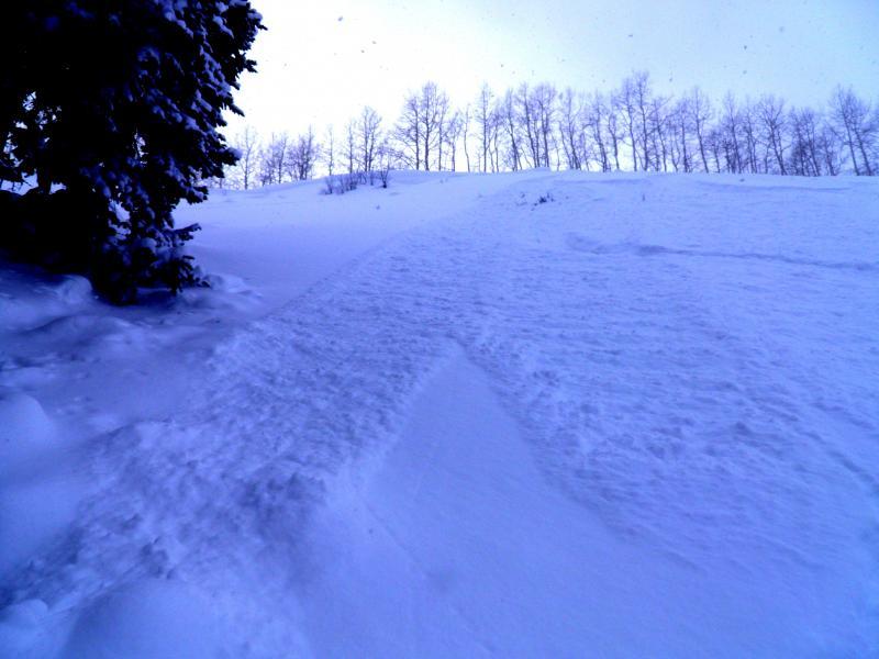
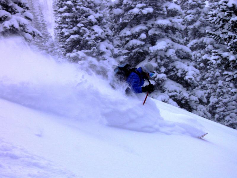
Pretty much kept to the same program today as Wednesday, skied the old slide paths in West Willow, and South Monitor, bed surfaces were not felt under the new snow today, and the lower angle terrain in Wills Hill. The thinking was that we would not ski anything as steep and north facing as the West Willow Ridgeline 36 degrees unless it had previously avalanched which it had in last weeks wet dense storm. Did note some reverse drifts on the South Monitor ridge line, caused by E-NE winds, which would crack in the light density snow but not move. Sluffing in steeper terrain was common but the density of the snow was so light it was not a factor. Been a while since I've skied old school Wasatch blower, now I remember why I do this. Photos, Drifts caused by E-NE winds, Cracking in the light density new snow, sluffing in the steeper terrain on the West Willow Ridgeline, Wasatch blower
Still not convinced that we have got out of the considerable range, settlement and cold temperatures have certainly helped but still not willing to stick my neck out on steep high elevation northerly facing slopes because of the poor snow pack structure on many of these slopes. Wind might also become a factor there is plenty of light density snow to blow around and add more weight to the pack.