The slab above the weak layer near the ground continues to gain strength and is bridging the weak layer more and more. Although the weak layer continues to remain weak because the thin snowpack maintains a steep temeprature gradient, the bridging slab and the increasing amount of time that has passed since significant loading. So the snowpack is not nearly as sensitive as it was last week.
I would continue to call it Moderate Danger on north through east facing slopes above 9,500' steeper than 30 degrees, especially on slopes approaching 35 degrees and steeper.
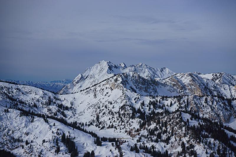
There is pretty good coverage on the upper elevation north through east facing slopes above about 9,500'. Everything else is pretty thin.