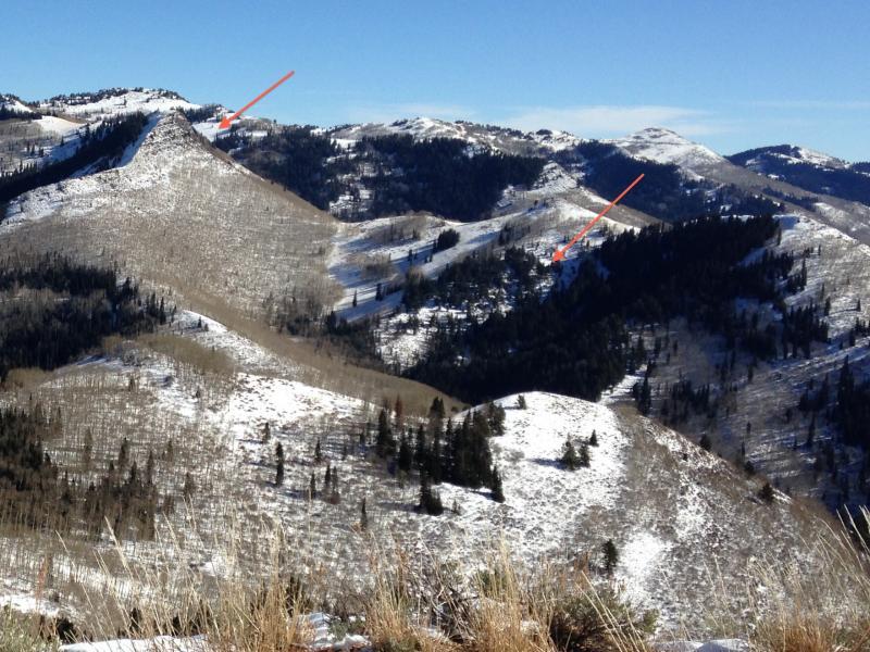
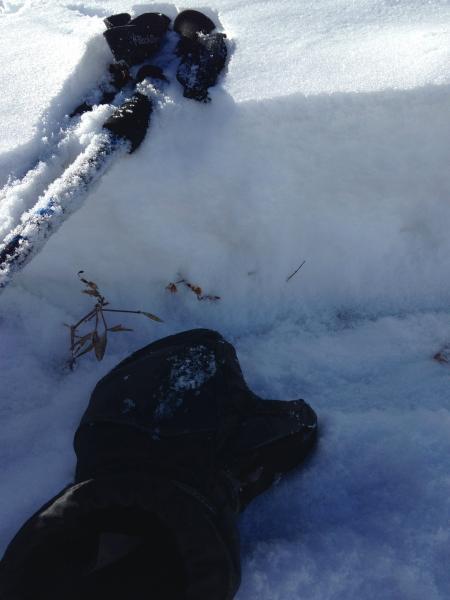
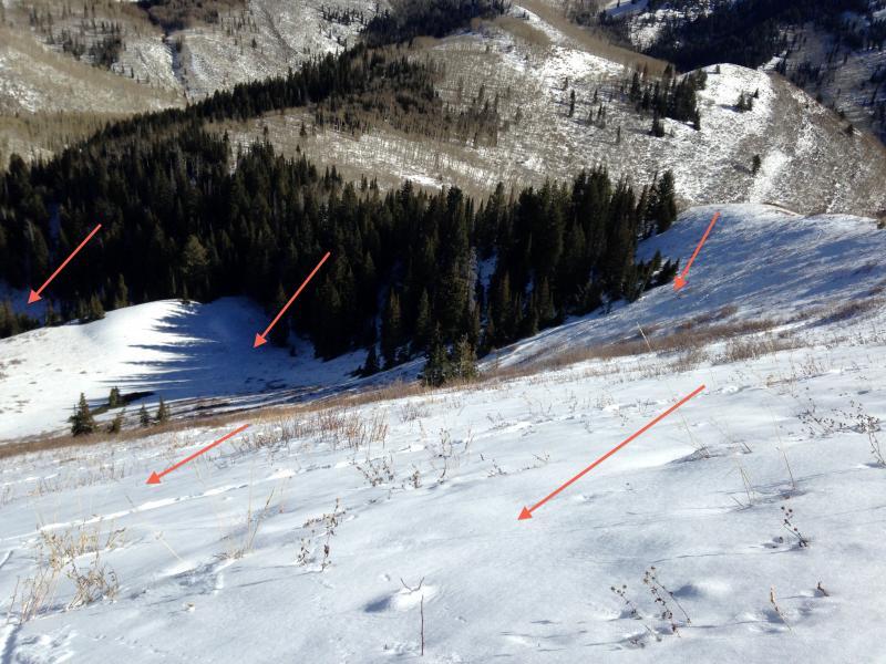
My focus was more on the mid elevations today - with no surprises on the shadier slopes. On most northerly facing slopes, the entire snowpack (all 6 to 10") was sugary, faceted snow. The east facing snowpack at the top of Reynolds was also faceted (top photo). A few wind drifts had a layer of 4 finger hardness snow, but in general all 6 to 10" of the snow was weak, fist hardness facets. In many places, the weakest snow was on the surface. Lower photo of north and part of east facing Reynolds-snow covered slopes are well connected.
The snow on the sunny, southerly facing slopes was patchy and damp to the ground.
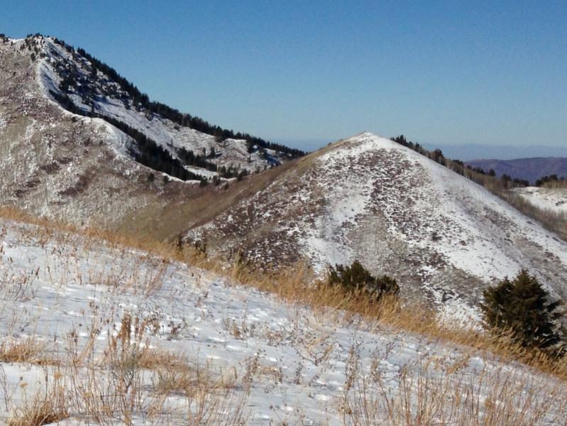
Reynolds is a great place for views - a look at the general coverage on some of the slopes north of Big Cottonwood Canyon Road. The snow is much more widespread today than it was a week ago. Shots of Raymond, Gobblers, and Wilson.
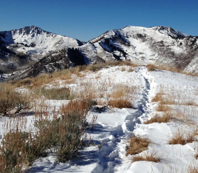
Looking east toward the Powder Park's and Bear Trap slopes - there is a reasonable amount of snow coverage on some of these NW facing slopes, of presumably faceted snow. If the coming storm is as large as forecast, travelers in these areas will need to watch their slope angles very carefully. Staying on slopes of less than about 30 degrees, that are not below steeper slopes or connected to steeper slopes to the sides. Smaller terrain traps, such as gullies and drainages also had the weak, sugary snow down to 7,500 or 8,000