Observation: Logan Peak

Observation Date
2/22/2014
Observer Name
Nate H-S/Kleinhasselhoff
Region
Logan » Logan Dry Canyon » Logan Peak
Location Name or Route
Logan Peak
Weather
Sky
Obscured
Precipitation
Heavy Snowfall
Wind Direction
West
Wind Speed
Moderate
Weather Comments
What started as a calm overcast day with overnight rime clouds gave way to a full on winter storm.
Snow Characteristics
New Snow Depth
4"
New Snow Density
Low
Snow Surface Conditions
Powder
Wind Crust
Melt-Freeze Crust
Rain-Rime Crust
Snow Characteristics Comments
What the wind hadn't jacked was in good shape and filling in all AM. What the wind had jacked was stripped to the ground in places or forming nice sastrugi and waves.
Red Flags
Red Flags
Recent Avalanches
Heavy Snowfall
Wind Loading
Poor Snowpack Structure
Red Flags Comments
Recent storm bonded very well and skied stable.
Avalanche Problem #1
Problem
Persistent Weak Layer
Trend
Increasing Danger
Problem #1 Comments
Nuking snow and wind from 8000' upward.
Avalanche Problem #2
Problem
New Snow
Trend
Decreasing Danger
Problem #2 Comments
The November facets are still there on NW/N/NE, although under six to seven feet of snow in depositional areas.
Snow Profile
Aspect
Northwest
Elevation
9,000'
Slope Angle
38°
Comments
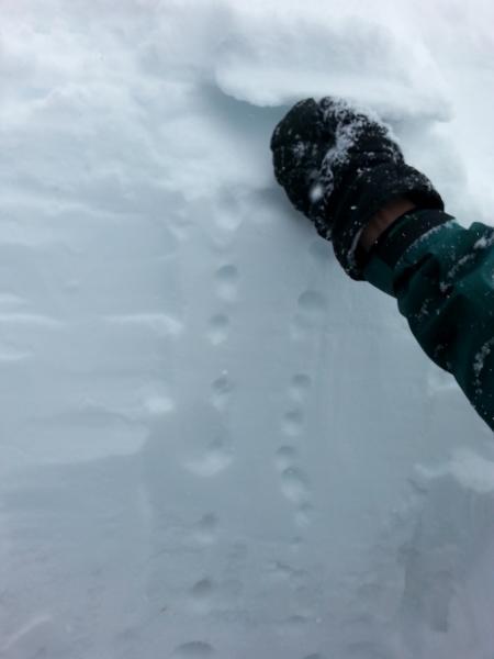
Photo 1. Stable snow beneath a pair of knife-strength melt-freeze crusts capped with today's storm snow. Travel on steep slopes was rough where the wind had scoured down to the crust. 
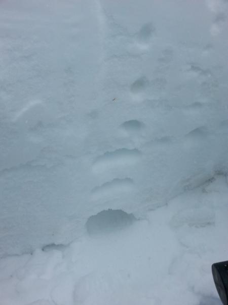
Photo 2. Still rotten down low. 
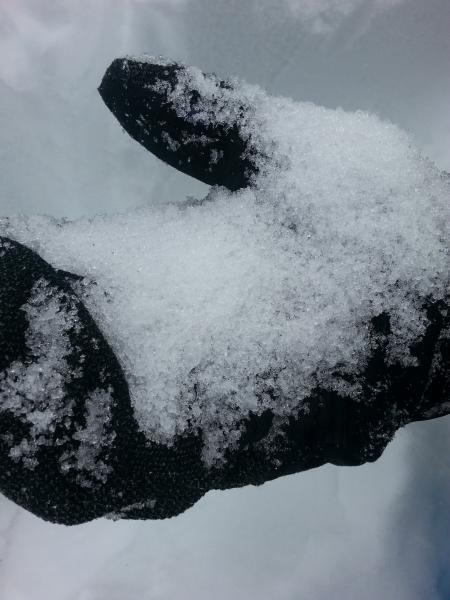
Photo 3. Sugar is bad for you. 
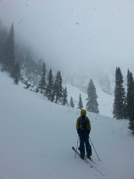
Photo 4. Persistent slabs and cornice falls onto wind slabs aren't out of the question on steep slopes. Conditions are pretty benign at moderate angles, but low probability, high consequence avalanches definitely aren't out of the question on steep slopes.
Today's Observed Danger Rating
Considerable
Tomorrows Estimated Danger Rating
Moderate