La Sal Mountains
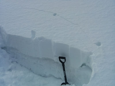
Temperatures at 10,000' dipped low enough for a for a re-freeze overnight, but warm temperatures during the day have turned the snow pack into an un easy combination of wet snow, and wet snow siting on top of loose facets at low to mid elevations. Upper elevations still hold dry snow on shady slopes, but the wind has affected exposed, westerly aspects. All sunny aspects are crusted over. Ridge top winds have been on the increase, averaging close to 30 mph and gusting in to the 40's from the south. It is currently 33 degrees at 10,000', and 25 degrees on Pre-Laurel Peak. There is 50" of snow on the ground in Gold Basin, and 30" at the Geyser Pass Trailhead.
Winds and temperature on Pre-Laurel Peak (11,705')
Temperature and new snow totals in Gold Basin (10,050')
Total snow depth and temperature near Geyser Pass Trailhead (9850')
Abajo Mountains
Low snow conditions still remain in the Abajo Mountains with lower elevations turning into a soupy mess of wet snow, and wet snow on facets. The snow pack depth averages between 18" and 36", but some sun and wind exposed slopes are showing bare ground. For more information, see this report Winds on Abajo Peak are averaging in the teens with gusting in mid 20's. It is currently 26 degrees.
Winds and temperature on Abajo Peak (11,330')
Snow totals at Camp Jackson (8968')
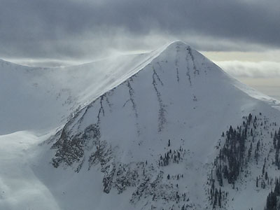
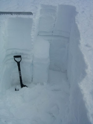
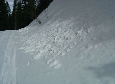
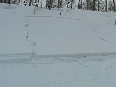
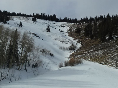
I've been able to get out and look around at things and follow up on reports, and we did have a natural avalanche cycle last weekend. Many natural storm snow avalanches occurred, but a few slides managed to step down into older, buried facets. No new activity has occurred in almost a week, but the slopes that ran, contrasted with those that didn't illustrate the tenuous balance we are in. Most notable was a large slide on the Horse's Head in the Abajo Mountains, and a large slide in Upper Horse Creek in the La Sals. Click here to see some of the avalanche reports.