

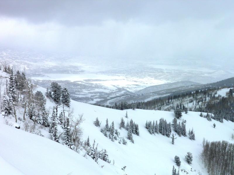
Walking up Willow Heights to West Monitor did not note strong winds or wind affected snow until the last 200 yards from the top, upon reaching the ridge line noted strong winds from the W SW building large cornices and loading both Monitors and Scotts. Noted one large natural cornice drop in E facing West Monitor that looked like it gouged down into old facets and ran to the flats with a substantial debris pile. Cracking in the dense snow was common place on the ridge, you could also remotely trigger cornice falls from a distance with a good jump. Not enough of a connected slab in the AM for avalanching but that seemed to change in the afternoon, with the continued strong winds and high amounts of wind loading on the N end of the compass. Wind slabs were building on the lee side of the ridge and down into the main bowls becoming unmanageable in my opinion, with our poor snow pack structure. Did see a fresh avalanche off Scotts Peak and put it on the avalanche list. Photos.
Strong wind loading rapidly loading the Monitors and Scotts.
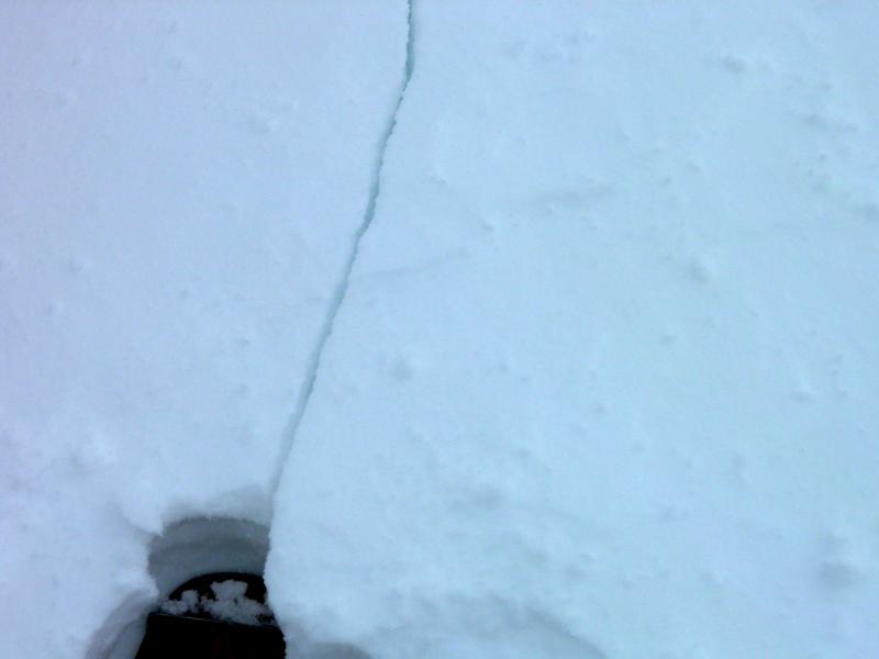
Cracking in the wind affected new dense snow.
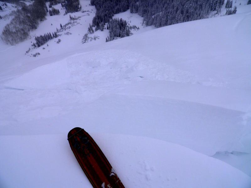
Fresh cornice remotely triggered with a jump.
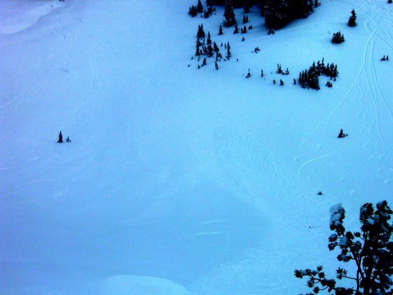
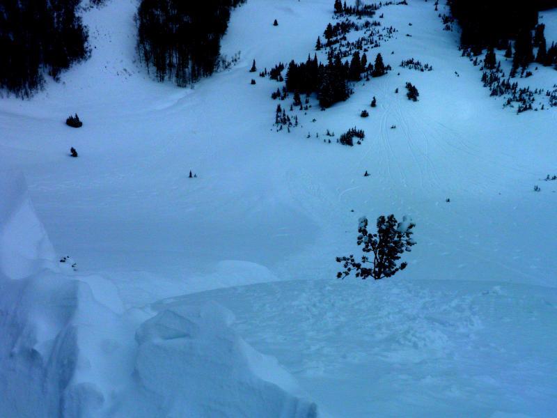
Natural cornice drop in West Monitor that looks to have gouged down into old faceted snow, not the best photos
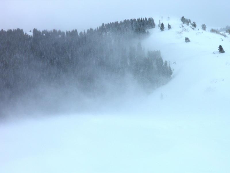
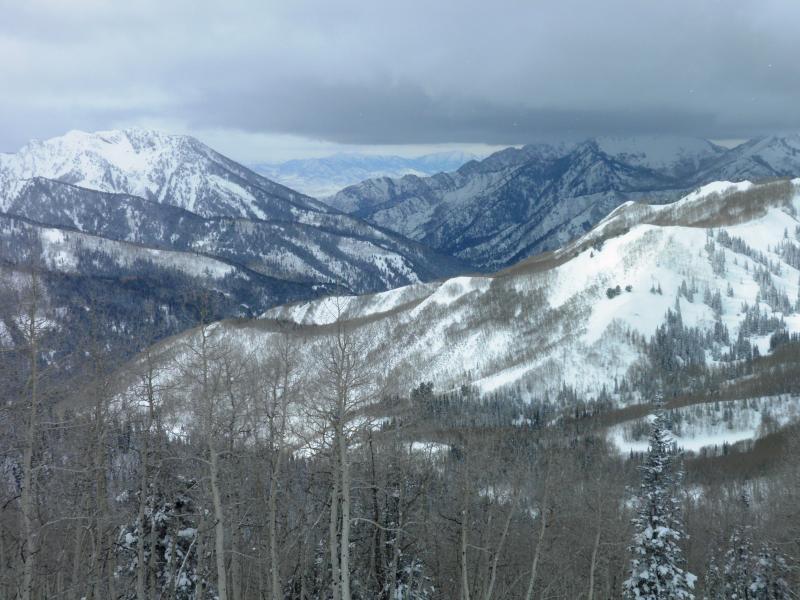
Cloud deck to the SW and the N in the AM, cloud deck dropped everywhere in the PM.
Hazard definitely hit considerable this afternoon in wind affected terrain, with naturals occurring later in the afternoon. Once again tomorrow depends on snow amounts and wind speeds, if we get a decent dose of both might be nearing the high category in wind affected terrain.