Observation: Park City Ridgeline

Observation Date
1/10/2014
Observer Name
mark white
Region
Salt Lake » Park City Ridgeline
Location Name or Route
PC Ridgeline
Weather
Sky
Overcast
Wind Direction
Northwest
Wind Speed
Strong
Weather Comments
Wind blasting on the upper ridge line, not so bad down lower but still in the moderate catagory. Overcast and not very cold.
Snow Characteristics
New Snow Depth
15"
New Snow Density
Medium
Snow Surface Conditions
Powder
Dense Loose
Wind Crust
Snow Characteristics Comments

Snow was right side up and low density in the wind sheltered terrain, up side down and inverted and slabby in wind exposed terrain.

Red Flags
Red Flags
Recent Avalanches
Wind Loading
Cracking
Collapsing
Poor Snowpack Structure
Comments

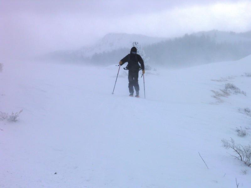
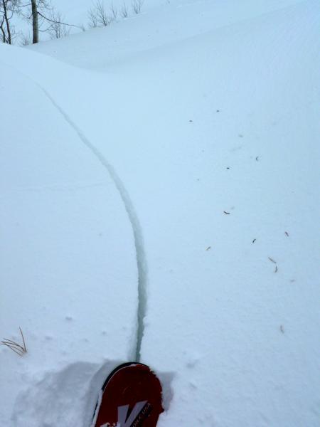
Wind was the main event today, blowing hard on the high ridge lines and transporting a lot of new snow onto the N- NE facing. Cornices were building and calving off through out the day. Noted a couple avalanches in the terrain covered, put them on the avalanche page. Basically any steep slope being loaded by the strong winds were likely to avalanche, either naturally or skier triggered, experienced both today. Photos, wind cranking and super annoying, shooting cracks on the ridge line.

High was an excellent call today with natural avalanches pulling out to the ground mid-day. Tomorrow depends on the wind, at least considerable. Human triggered slides highly likely in steeper north through east terrain. Natural activity will depend on the weather.

Today's Observed Danger Rating
High
Tomorrows Estimated Danger Rating
Considerable