Observation Date
12/26/2013
Observer Name
Weed
Region
Logan » Central Bear River Range
Location Name or Route
Natural Avalanche Cycle in the Central Bear River Range
Comments
Here's a video look at the large natural Cornice Ridge Avalanche that occurred early Christmas Eve as an energetic cold front moved through the region....
Video
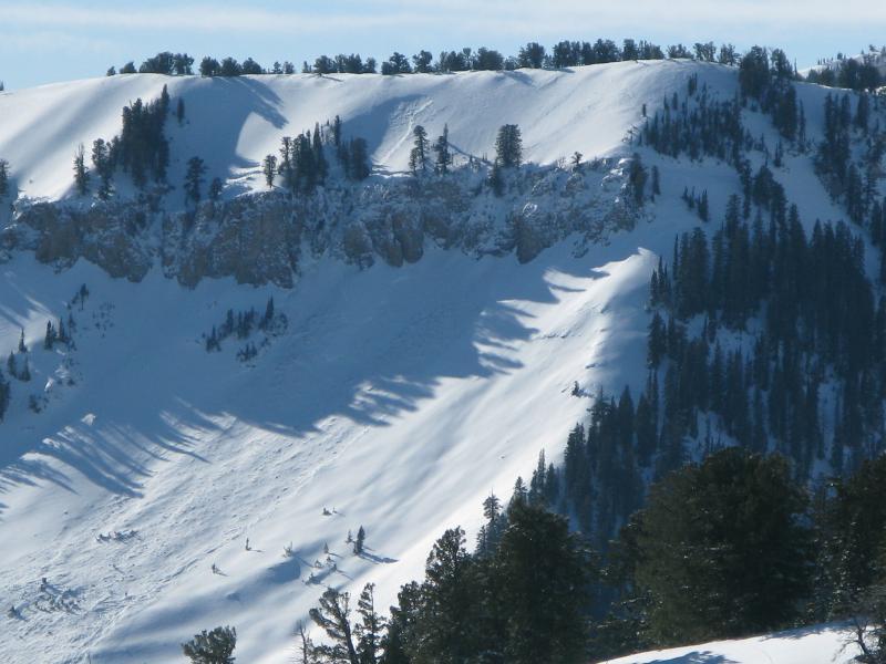
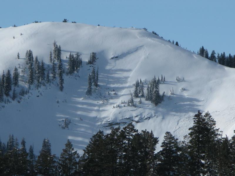
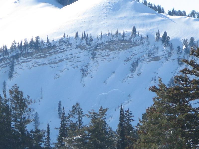
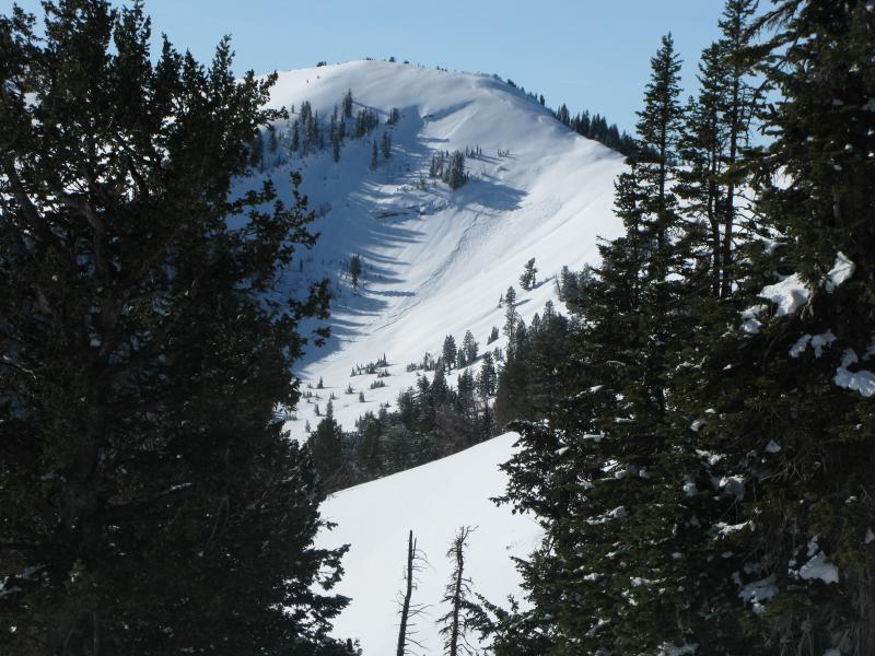
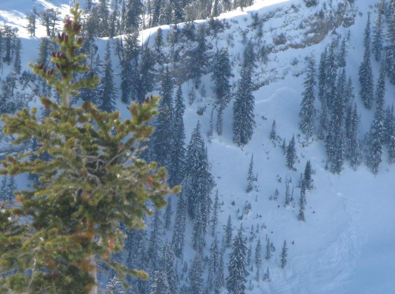
Views into the Mount Naomi Wilderness and Cottonwood Canyon revealed evidence of widespread natural avalanche activity.
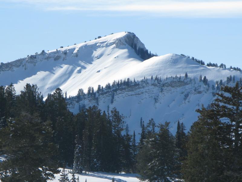
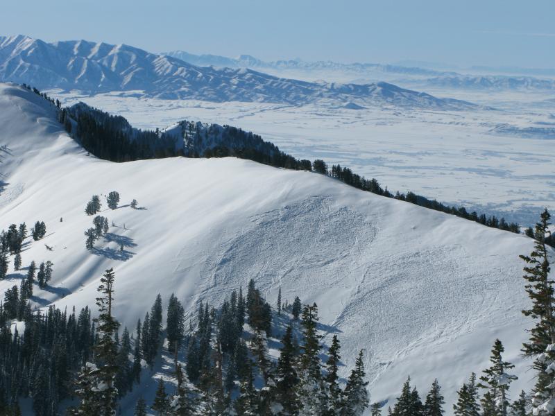
A panorama from the top of Cornice Ridge shows the shallow coverage on the Central Bear River Spine.

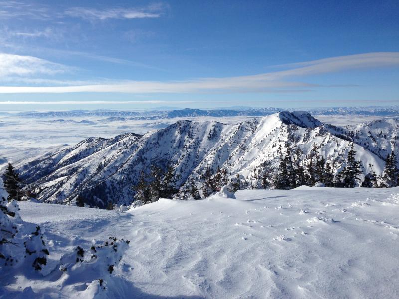
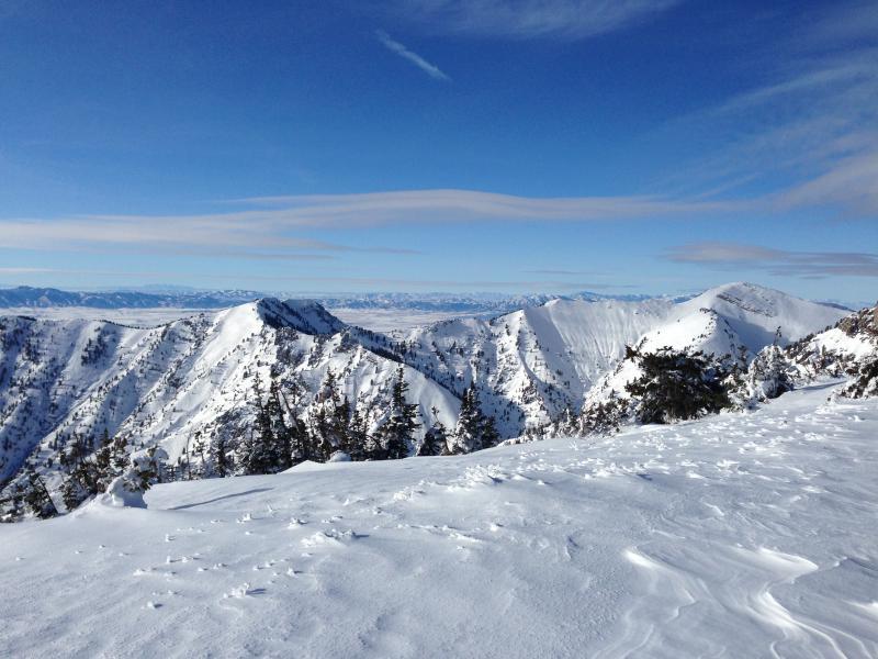
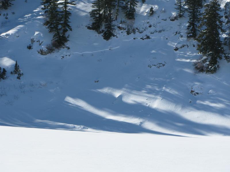
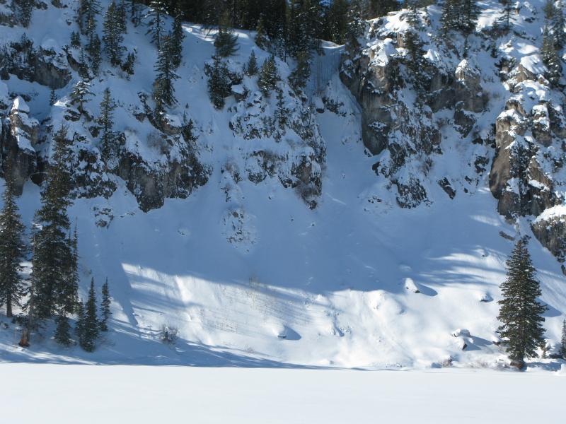
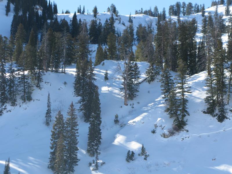
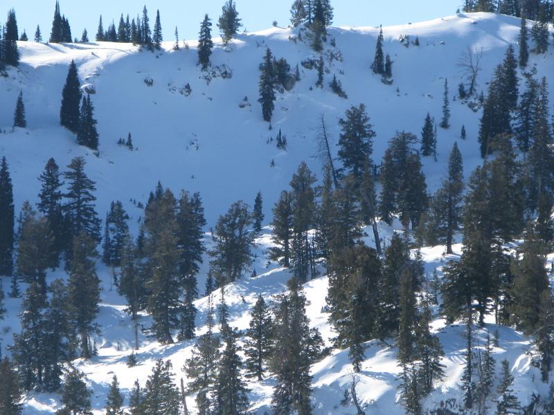
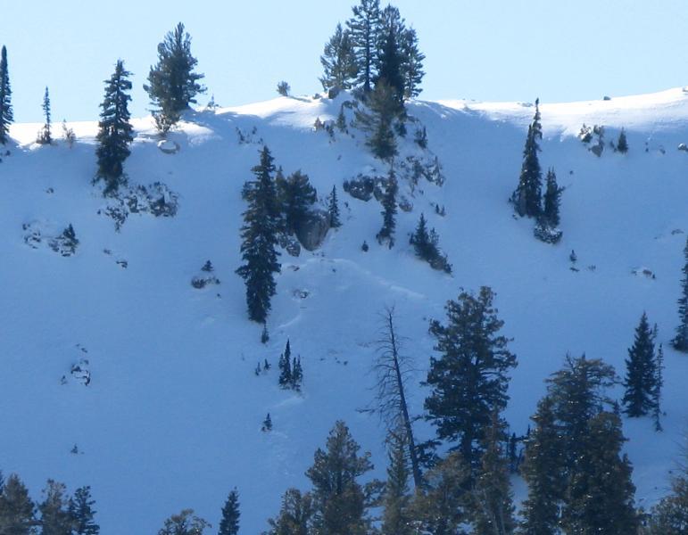
Here's views of some natural avalanches in the Tony Grove Lake and Blind Hollow Saddle Areas. All these avalanches occurred round the same time, as the Tony Grove Snotel reported an inch of water gain overnight and the UDOT Hwy 89 Logan Summit weather station reported 58 mph wind gusts and sustained west northwest wind early Christmas Eve morning.
Today's Observed Danger Rating
Considerable
Tomorrows Estimated Danger Rating
Considerable


