Forecast for the Moab Area Mountains

Issued by Eric Trenbeath on
Monday morning, December 9, 2013
Monday morning, December 9, 2013
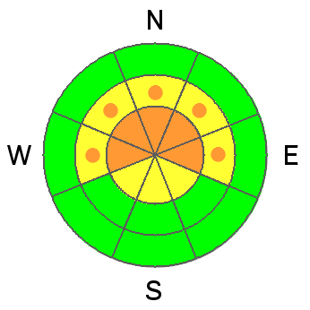
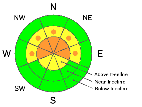
At upper elevations there still remain areas of CONSIDERABLE danger on slopes steeper than 35 degrees with a NE-NW aspect. This danger is most prevalent along ridge crests, near rock bands, and on the lee sides of terrain features where wind slabs have formed form the weekend storm. There is also the potential to trigger a deep, persistent slab in these areas.
There is a MODERATE danger of triggering an avalanche this time on slopes steeper than 35 degrees with a NE-NW aspect at mid elevations. Remember that MODERATE danger means that human triggered avalanches are possible.
Low
Moderate
Considerable
High
Extreme
Learn how to read the forecast here