

Observer Name
Dan and Luke
Observation Date
Saturday, November 9, 2013
Region
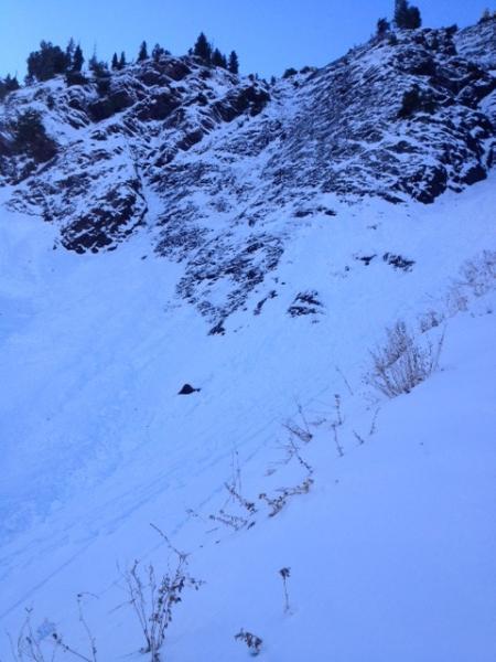
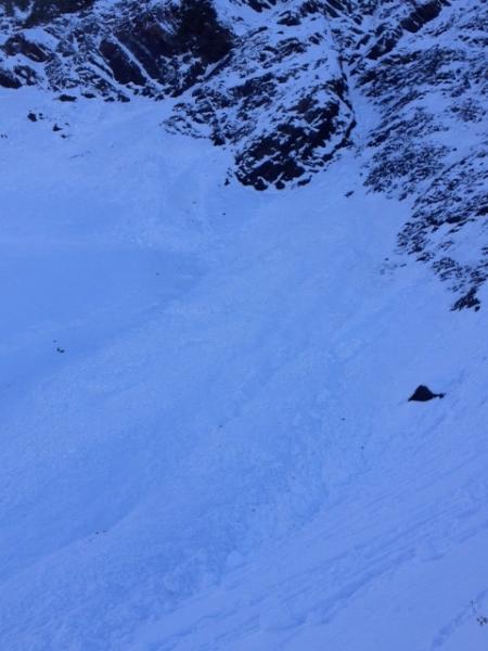
Salt Lake » Big Cottonwood Canyon » Mineral Fork
Location Name or Route
Mineral Fork
Elevation
9,700'
Aspect
Northeast
Slope Angle
42°
Trigger
Natural
Avalanche Type
Hard Slab
Avalanche Problem
Persistent Weak Layer
Weak Layer
Depth Hoar
Depth
Unknown
Width
40'
Vertical
200'
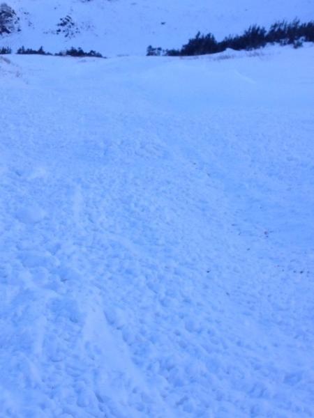
Snow Profile Comments
Pit dug nearby at same aspect showed a total depth of 3 feet. A thin wind crust on top with preserved surface hoar below. An 18" pencil hard slab sat on top of a thin faceted layer then another dense slab sitting on 2-4" of large grain depth hoar. ECT 23 failing on the depth hoar. Very dense slab failing deep, though with much force needed. More northerly facing pits atmhigher elevations were surprisingly cohesive. Lots of wind scouring in the area.
Comments
Sorry for the poor quality images. The slide was impressive and our test through the day were quite variable, with high northeast most layered and reactive. Nothing finer than turns on breakable crusts.