I went for a stroll into the high country today to inspect what the current snow cover is like. We are at the time of the season that it's time to start paying close attention to the layering and distribution of different layers. It is important to know what the current snow cover is like so we can anticipate how it will react with every subsequent upcoming storm.
Bottom Line: There is more faceted weak snow than I care to see on the upper elevation northerly aspects. I'm not saying the season is cursed, but there's potential for some problems early on. Perhaps this will be short lived or perhaps no issue at all. It will all depend on how the new snow layers stack up on top of it and how this faceted snow changes after the new snow is added.
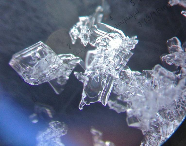
There is 4 to 10 inches of weak, sugary (faceted) snow on the northerly aspects above around 9500' in Days Fork. Looking at the grains under a scope, you can see the corners and straight lines which are indicative of faceted snow. They are fairly large grains and quite loose in the locations that I poked into.
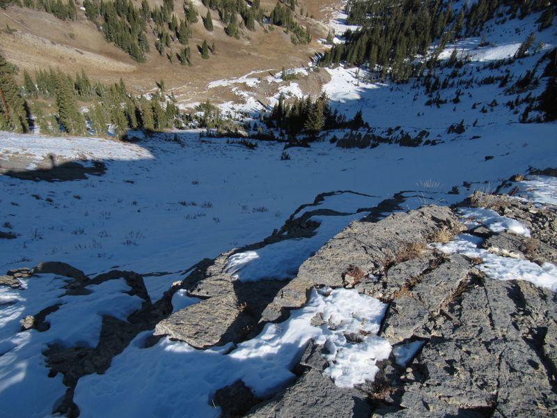
This is looking down into Two Dogs which is in upper Days Fork and is north facing. There is an average of about 6 inches of loose faceted snow. It is congruent enough through fairly large starting zones to potentially cause problems with future snow layers.
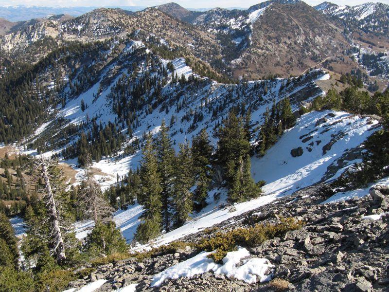
This image is looking east from Flagstaff Peak and shows the north facing slopes of upper Days Fork.