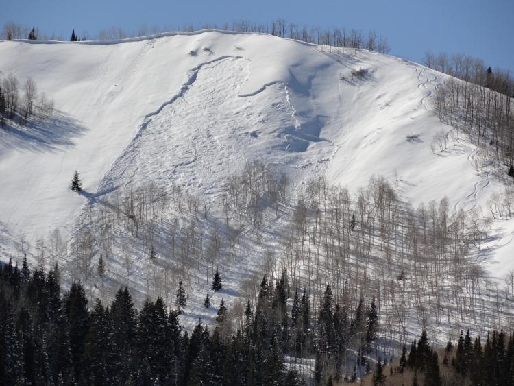
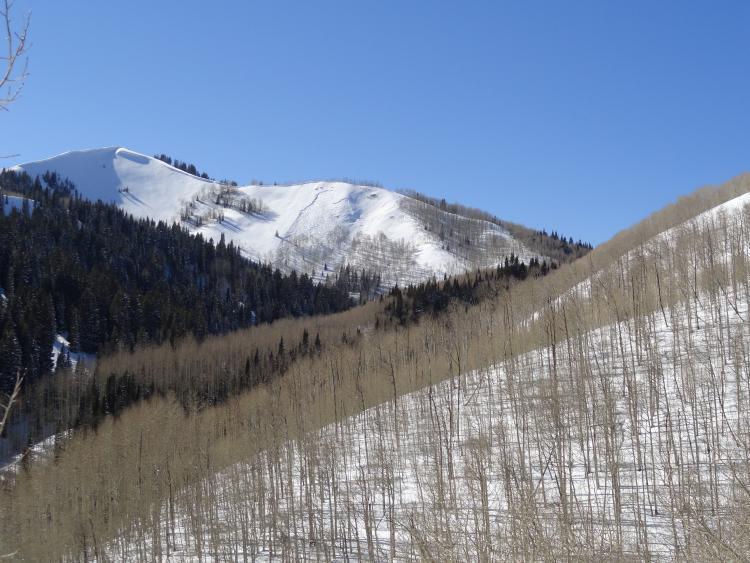
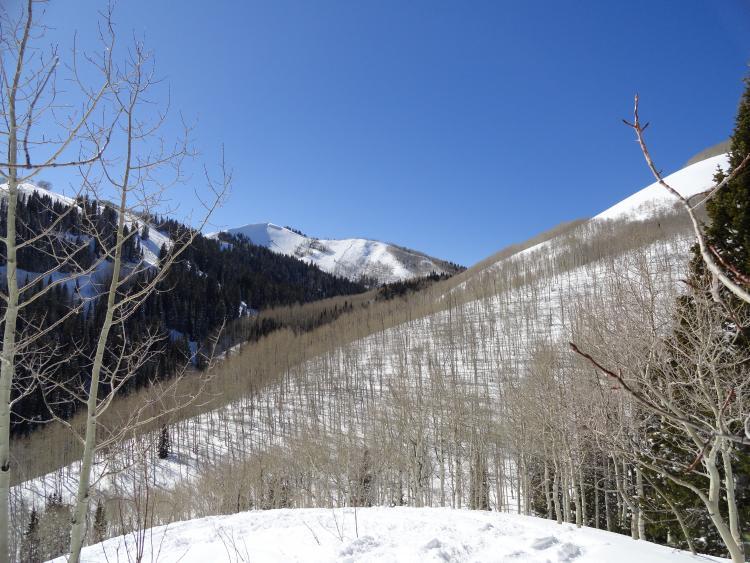
Coming out of Mill D North Fork from Lake Desolation today around 2:30, We spotted a slide that looked pretty fresh. (but didn't see it slide). We were looking due west maybe a couple thousand yard's to a quarter mile away. (after scoping maps, I assume to be Reynolds Peak, east face, north of the summit). Looking through binos I could see some ski tracks just right of the slide on a safer shoulder (good terrain management fellas). There were not tracks going into the slide and the skier tracks from the right appeared to have cleared the debris. I assume the slide occured naturally because of the rapid warming, but may have been also remotely triggered by the skier party. (Unknown). I'm hoping I can upload some of these photos. PEACE and Thanks UAC - You guys rock
Forecaster Note - this was triggered remotely on 3/3 - and reported - thanks for excellent pics -