


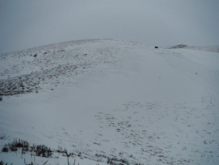
While touring in the Oquirrh Range we unintentionally triggered a soft slab of wind drifted snow from Sunday's storm. We were sticking to a ridge spine that ran the length from the peak to the base for our decent. Right on the ridge line there was barely any snow (most had blown off to the southeast) so we skied mostly just left on the main ridge line. At one point one of my ski cuts triggered some shooting cracks in the new snow from which I quickly moved further away from the ridge line break over. After descending a bit more and looking back up we noticed that we had remotely triggered this soft slab. Our ski tracks are not totally visible in the flat light this photo was taken but it was apparent the the slide occurred some distance below our ski tracks.
Also I just wanted to generally comment that the persistent sugar layer is evident even in the west facing Oquirrhs. Several times throughout the tour I could hear and feel whomping as we traveled. We didn't have time to dig a pit on the main face we wanted to ski, but many times probing with my pole while going uphill I found that sugar down near the bottom. We had planned our route well in advance so a detailed snow pit wouldn't have changed our plans for decent but it would have been nice to investigate the layers further.