

Observer Name
Dave
Observation Date
Friday, January 20, 2012
Avalanche Date
Friday, January 20, 2012
Region
SE Idaho » Cub River
Location Name or Route
Cub River road to Franklin Basin
Elevation
8,000'
Aspect
East
Slope Angle
33°
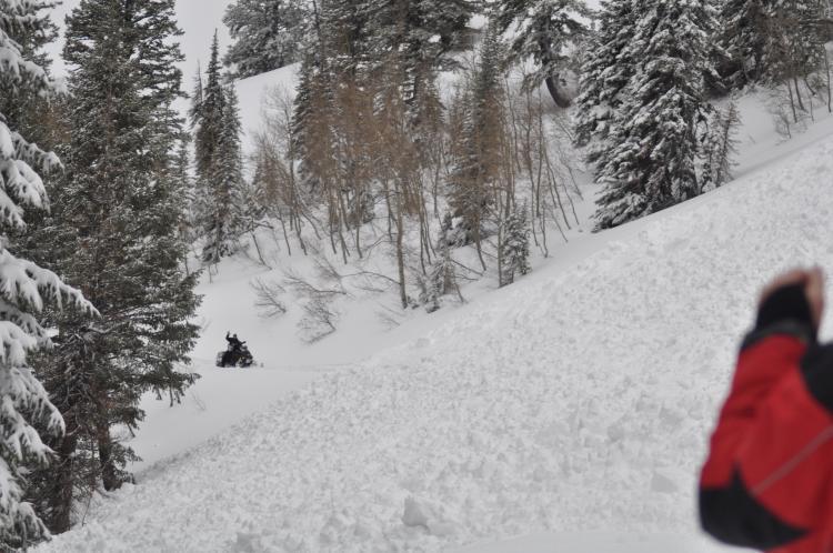
Trigger
Snowmobiler
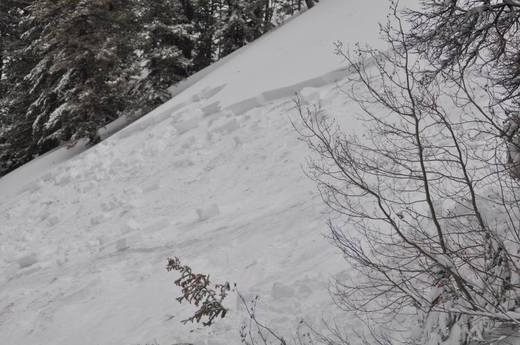
Avalanche Type
Soft Slab
Weak Layer
New Snow/Old Snow Interface
Depth
2.5'
Width
200'
Vertical
150'
Comments
We headed up Hillyard Canyon road Friday morning 1/20/2012, and 3 of us are all experienced snowmobilers with avalanche beacons and survival gear and we where going by the steep sections of the trail 1 at a time. My friend went 1st after he cleared my other friend went and as soon as he was clear I was getting ready to go when the side of the mountain came down in front of me. I was a lucky man and if we had not been going 1 at a time we all could of been buried.

Coordinates