icon-add
Observation
Menu
×
Menu
Forecasts
Logan
Ogden
Salt Lake
Provo
Uintas
Skyline
Moab
Abajos
Weather
Archives
How to read the forecast
Observations & Avalanches
Submit Observation
Observations Explorer
All Observations
Avalanches
Fatalities
Weather
Place Names Map
Archives
Education
Avalanche Class List
UAC Class List
Online Classes
Resources and Tutorials
Avalanche Awareness
Develop Skills
Events
Store
About
Contact
Who we are
Core Values
Staff
Board of Directors
Past Forecasters
Sponsors
Annual Reports
Sign In
Blog
Donate / Join
Search
Forecasts
Logan
Ogden
Salt Lake
Provo
Uintas
Skyline
Moab
Abajos
Weather
Archives
How to read the forecast
Observations & Avalanches
Submit Observation
Observations Explorer
All Observations
Avalanches
Fatalities
Weather
Place Names Map
Archives
Education
Avalanche Class List
UAC Class List
Online Classes
Resources and Tutorials
Avalanche Awareness
Develop Skills
Events
Store
About
Contact
Who we are
Core Values
Staff
Board of Directors
Past Forecasters
Sponsors
Annual Reports
Sign In
Blog
Menu
Search
icon-add
Observation
Donate / Join
Submit Observation
Observations Explorer
All Observations
Avalanches
Fatalities
Weather
Place Names Map
Archives
Submit Observation
Observations Explorer
All Observations
Avalanches
Fatalities
Weather
Place Names Map
Archives
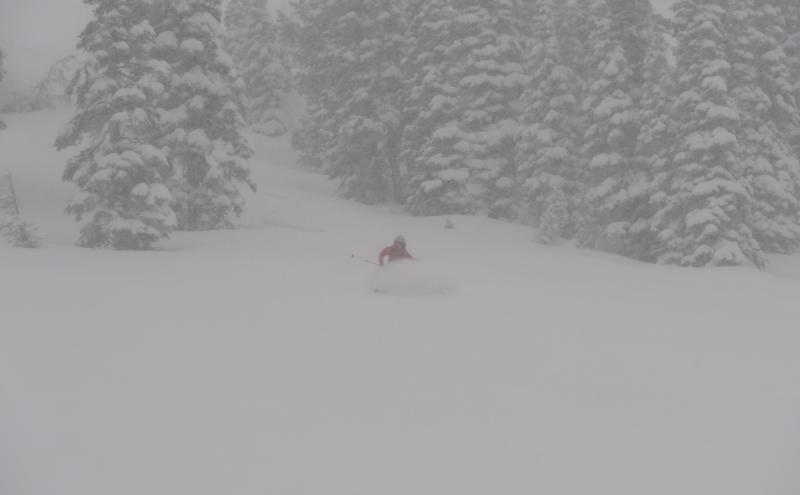
Observation: Northern Bear River Range
Observation Date
4/8/2013
Observer Name
Tidhar
Region
SE Idaho » Northern Bear River Range
Location Name or Route
Northern Bear River Range
Weather
Sky
Overcast
Precipitation
Heavy Snowfall
Wind Direction
East
Wind Speed
Strong
Weather Comments
Winds variable and only strong along ridgetop.
Snow Characteristics
New Snow Depth
12"
New Snow Density
Low
Snow Surface Conditions
Powder
Snow Characteristics Comments
Relatively light low density new snow atop an extremely supportable bonded base. There was a very apparent temperature gradient with new snow denser below ~8000 feet, with heavily saturated areas below trees.
Red Flags
Red Flags
Heavy Snowfall
Wind Loading
Avalanche Problem #1
Problem
New Snow
Trend
Increasing Danger
Problem #1 Comments
Accumulating snow created soft slab conditions with potential for entrainment of skier. Cornices fairly sensitive for release. We dropped a small cornice on ~30 degree slope and triggered a soft slab which ran ~300 vertical feet.
Avalanche Problem #2
Problem
Persistent Weak Layer
Trend
Increasing Danger
Problem #2 Comments
Wind slab formation on leeward slopes. Because of variability in wind direction, predicting where wind slabs may have formed below ridges could become more difficult.
Today's Observed Danger Rating
None
Tomorrows Estimated Danger Rating
None