Forecast for the Skyline Area Mountains

Saturday, April 6, 2013
The danger of wet avalanches is generally LOW this morning and will rise to MODERATE. Human triggered wet slides will be possible on all slopes as the day heats up.

The danger of wet avalanches is generally LOW this morning and will rise to MODERATE. Human triggered wet slides will be possible on all slopes as the day heats up.
Next Saturday April 13th will be the last of our regularly scheduled advisories
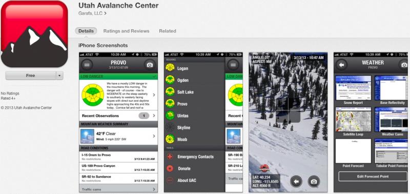
iPhone & iPad users: With help from Backcountry.com & Garafa, LLC, we now have a free mobile app that combines the best of the UAC advisories, observations, and weather summaries with National Weather Service products & UDOT road updates. This puts the tools you need for planning your day and your run in one handy mobile package. Check it out, tell your friends, and let us know what you think. http://utahavalanchecenter.org/apps

A moist westerly flow brought a mixed bag of weather conditions to the Skyline the past few days. Low elevation rain, mid elevation hail and graupel, and about 3" of high density snow to the upper elevation terrain. Currently, skies are cloudy, winds light and variable, blowing 5-10 mph along the summit, and temperatures are in the mid to upper 20's. Riding and turning conditions are surprisingly good up high where you'll find a few inches of fresh, spongy snow.
No new avalanche activity to report. Click here to view Steve Cote's trip report from yesterday.
Marginal refreezes this week have left the snow surface damp and manky. Yesterday's little shot of snow helped insulate the snow surface and I think today's wet avalanches could gouge a little deeper than you might expect. Cloud cover may help to keep things at bay, but if the sun comes out for any length of time, expect the snow surface to morph into a damp, gooey mess. As a result wet slides and sluffs will become more widespread on all steep slopes. During the heat of the day, steer clear of terrain traps like gullies and road cuts, where even a small slide can pile up cement-like debris very deeply.
Most cornices seem pretty welded in place, but these are unpredictable pieces of snow that have a tendency to break further back than you might expect. Rather than pulling on the dogs tail today to see how it's gonna react, it's probably best to avoid being on or near large overhanging cornices.
A moist westerly flow keeps unsettled weather over the area through the weekend. A weak disturbance later this morning delivers a couple inches of high density snow with snow levels near 7000 ft. Temperatures climb to near 40 degrees before dipping into the upper 20's overnight. Westerly winds should remain relatively well behaved with a few gusts in the 20's and 30's along the high peaks. Another system slides through the region Sunday and this looks a bit more potent. Yet another, colder storm is slated for Sunday night through Tuesday and this looks like a good snow producer for the region. I would bet a foot of snow is likely for the Mon/Tues timeframe. High pressure builds midweek with some uncertainty for the long range.
Remember your information can save lives. If you see anything we should know about, please participate in the creation of our own community avalanche advisory by submitting snow and avalanche conditions. You can call me directly at 801-231-2170, email [email protected], or email by clicking HERE
This is a great time of year to schedule a free avalanche awareness presentation for your group or club. You can contact me at 801-231-2170 or email [email protected]
Donate to your favorite non-profit –The Friends of the Utah Avalanche Center. The UAC depends on contributions from users like you to support our work.
The information in this advisory is from the US Forest Service which is solely responsible for its content. This advisory describes general avalanche conditions and local variations always occur.
The information in this advisory advisory expires 24 hours after the date and time posted, but will be updated by 7:00 AM Saturday, April 13th.