Forecast for the Skyline Area Mountains

Saturday, March 30, 2013
The danger of wet avalanches is generally LOW this morning and will rise to MODERATE. Human triggered wet slides will be possible on all slopes as the day heats up.

The danger of wet avalanches is generally LOW this morning and will rise to MODERATE. Human triggered wet slides will be possible on all slopes as the day heats up.
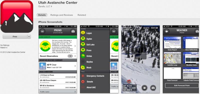
iPhone & iPad users: With help from Backcountry.com & Garafa, LLC, we now have a free mobile app that combines the best of the UAC advisories, observations, and weather summaries with National Weather Service products & UDOT road updates. This puts the tools you need for planning your day and your run in one handy mobile package. Check it out, tell your friends, and let us know what you think. http://utahavalanchecenter.org/apps

Skies cleared out last night and winds are very light, less than 10 mph. It's warm out there this morning as temperatures only dipped into the low 30's even along the high ridges. Snow surface conditions are a mixed bag and with a shallow refreeze overnight, supportable snow may be short-lived on the sunny slopes.

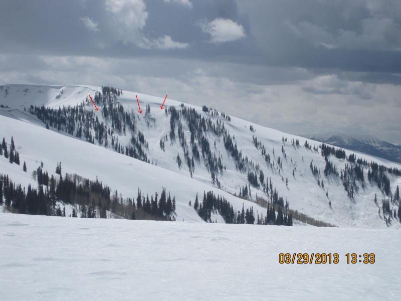
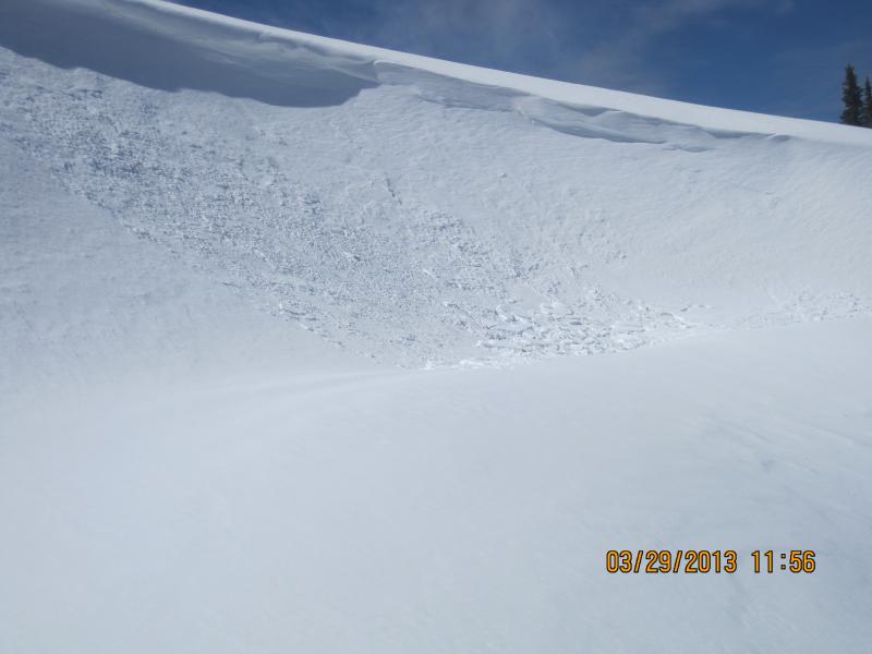
Darce and Steve spotted a couple of older slides running on steep, north facing terrain as a result of last weeks snow and wind... otherwise it's been pretty quiet.
It's that time of year when the sun is high in the sky and it's baking nearly all aspects and elevations. As a result we generally start to transition into a spring-like pattern and wet avalanche activity plays a major role. Wet avalanches are pretty straight-forward. As the day wares on and the snow heats up, like clockwork, the pack becomes damp and wet slides and sluffs will become more widespread on steep, sunny slopes. If you're feeling like an ant under a magnifying glass... so is the snow. During the heat of the day, steer clear of terrain traps like gullies and road cuts, where even a small slide can pile up cement-like debris very deeply.
Most cornices seem pretty welded in place, but today's warming might help to coax them into being a bit more tender. Best to steer clear of these unpredictable pieces of snow during the heat of the day.

A weak system passing to the north will bring a slight increase in ridge top winds and some cloudiness today. Temperatures climb into the mid 40's before diving to near freezing under clear skies overnight. Southerly winds increase Sunday bringing warmer temperatures and increasing clouds late in the day. A Pacific system will start to move inland Sunday and will bring an increasing chance of snow showers Sunday afternoon through Monday. We might see a couple inches of snow before the system moves east early Wednesday, leading to clear skies and warming temperatures through the end of the week.
Remember your information can save lives. If you see anything we should know about, please participate in the creation of our own community avalanche advisory by submitting snow and avalanche conditions. You can call me directly at 801-231-2170, email [email protected], or email by clicking HERE
This is a great time of year to schedule a free avalanche awareness presentation for your group or club. You can contact me at 801-231-2170 or email [email protected]
Donate to your favorite non-profit –The Friends of the Utah Avalanche Center. The UAC depends on contributions from users like you to support our work.
The information in this advisory is from the US Forest Service which is solely responsible for its content. This advisory describes general avalanche conditions and local variations always occur.
The information in this advisory advisory expires 24 hours after the date and time posted, but will be updated by 7:00 AM Saturday, April 6th.