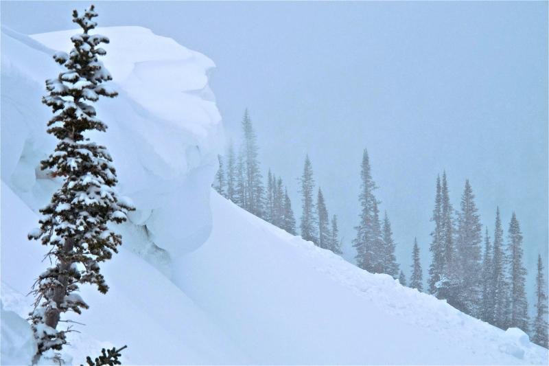
Forecast for the Uintas Area Mountains

Craig Gordon
Issued by Craig Gordon for
Wednesday, March 27, 2013

In the wind zone at and above treeline the avalanche danger is MODERATE and human triggered avalanches are possible on steep, mid and upper elevation, wind drifted slopes.

The danger of wet avalanches is generally LOW this morning and will rise to MODERATE. Human triggered wet slides will be possible as the day heats up

Low
Moderate
Considerable
High
Extreme
Learn how to read the forecast here
Special Announcements

We just about got the communication issues with our ridgetop wind sensors figured out. Hopefully we'll have things running solidly by this afternoon.

Weather and Snow

High pressure building over the region allowed skies to clear out overnight and reveal a big, bright, beautiful moon along with temperatures in the low to mid 20's. West and southwest winds gusted into the 30's and 40's along the high ridges yesterday, but began mellowing out around 8:00 last night and are currently blowing 10-20 mph. This is the time of year when the Uinta's come on and today should be stunning. On a go-anywhere base, riding and turning conditions are about as good as they get.

The big terrain around Bald Mountain is finally starting to fill in.

Recent observations can be found here.

Wondering why last winter was so crazy? Click here to watch the 2011-12 Utah Winter Review... an excellent recap of last years conditions.

Recent Avalanches

No new avalanche activity to report.

Click here for recent observations from the region.

Ad
Avalanche Problem #1
Persistent Weak Layer
Type
Location
Likelihood
Size
Description

Yesterdays winds found enough snow to blow around and form fresh drifts along the leeward side of upper elevation ridges facing the north half of the compass. While not widespread and not overly sensitive, today's warming temperatures might be the wild card... helping to stiffen the snow up a bit, making it more cohesive and slabby. In big, committing terrain you might want to continue avoiding fat, rounded pillows of snow, especially if they sound hollow like a drum.

Ted was up on Lofty Lake Peak Monday and grabbed this image illustrating wind transport in upper elevation terrain.

The west and southwest winds also cross-loaded terrain features like the gullies and chutes pictured above.

Avalanche Problem #2
Cornice
Type
Location
Likelihood
Size
Description

Cornices will become more tender with warming temperatures and may break back a little further than you might expect. Probably best to steer clear of these unpredictable pieces of snow.

Avalanche Problem #3
Wet Snow
Type
Location
Likelihood
Size
Description

With strong sunshine and rising temperatures the cold snow of the past few days will get baked today. As the day wares on and the snow heats up, like clockwork, wet avalanches will become more widespread on steep, sunny slopes. If you're feeling like an ant under a magnifying glass... so is the snow. During the heat of the day, steer clear of terrain traps like gullies and road cuts, where even a small slide can pile up cement-like debris very deeply.

Gullies like these pictured above are what we call terrain traps and should be avoided as the day heats up.

Additional Information

High pressure and a mild west-southwest flow is on tap for the region the next few days. Look for partly cloudy skies through the remainder of the week, with an occasional afternoon snow shower or two. Winds will remain in the 10-20 mph range and temperatures rise into the low 40's with overnight lows dipping into the mid 20's. There's a hint of some moisture working into the region late Sunday, but the jury is still out on this one.... could dive south. I will have more details for Saturday's update.

General Announcements

Remember your information can save lives. If you see anything we should know about, please participate in the creation of our own community avalanche advisory by submitting snow and avalanche conditions. You can call me directly at 801-231-2170, email [email protected], or email by clicking HERE

This is a great time of year to schedule a free avalanche awareness presentation for your group or club. You can contact me at 801-231-2170 or email [email protected]

Donate to your favorite non-profit –The Friends of the Utah Avalanche Center. The UAC depends on contributions from users like you to support our work.

The information in this advisory is from the US Forest Service which is solely responsible for its content. This advisory describes general avalanche conditions and local variations always occur.

The information in this advisory expires 24 hours after the date and time posted, but will be updated by 7:00 AM Saturday March 30th.