

Forecast for the Logan Area Mountains

Monday morning, March 18, 2013
There is a MODERATE (level 2) danger on drifted slopes at upper elevations, and you could trigger wind slab avalanches on steep slopes with recent deposits of drifted new snow. Evaluate the snow and terrain carefully and avoid stiff wind drifts on steep upper elevation slopes.
 Special Announcements
Go to http://www.backcountry.com/utah-avalanche-center to get tickets for Beaver Mountain. You won't save a ton of money, but all proceeds from sales of these tickets will benefit the Utah Avalanche Center, and It's super easy to do.
 Weather and Snow
The Tony Grove Snotel at 8400' reports more than 6 inches of new snow from yesterday, with around 1" of water equivalent. It's a cool 18 degrees, and with 58"of total snow, the station sits at 66% of average water for the date. The CSI Logan Peak weather station at 9700' reports only 8 degrees and west winds averaging in the mid teens. West-northwest winds were strong and sustained yesterday at UDOT's Hwy 89 Logan Summit weather station, and the winds picked back up this morning, posting 30 mph hourly averages and gusting into the mid 40s. You'll find somewhat drifted shallow "powder" conditions at upper elevations in the Central Bear River Range, with dust-on-crust and solidly refrozen snow down lower.
 Recent Avalanches
The very warm weather at the end of last week spawned numerous natural wet avalanches across the region up to the highest elevations and on slopes facing all directions... Of particular note were a couple wet slabs in Beaver Canyon from Friday (3-15), which ran on the forested slope across the canyon from the Beaver Backside and stopped in deep timber only a few meters from Hwy 89.
Here's a link to our updated Avalanche List.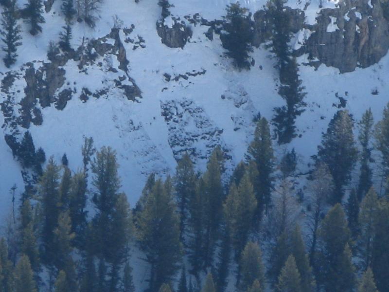

Persistent Weak Layer
Description
Sustained west-northwest winds drifted yesterday's 6 inches of fresh snow and deposited it into stiff wind slabs on the lee sides of the major ridge lines. Watch for and avoid smooth, stiffer, chalky-looking, and sometimes hollow sounding drifts on steep slopes. These most likely formed in and around terrain features like sub-ridges, cliff bands, or gullies, and the new snow may not have bonded very well to the warm melt-freeze snow that was on the surface over the weekend.
Additional Information
A cold and moist northwest flow will continue today, bringing some snow this morning, clouds, 20 mph west-southwest winds on the ridges, and below freezing mountain temperatures. Expect clearing overnight and short-lived high pressure conditions tomorrow, with light and variable winds and 9000' high temperatures in the mid to upper 30s. Another springtime pacific storm is on the way, and snow will develop for Wednesday and continue Wednesday night, with 6" to a foot of accumulation possible by Thursday afternoon.
Check out the Logan Mountain Weather page...
General Announcements
Want to ski all night long? And raise some funds for the UAC? By yourself or with your friends. 12 Hours of Canyons...Friday March 29th-30th. 7pm-7am. 12 hours of Canyons info...... HERE
For a printer friendly version of this advisory click HERE
Remember your information from the backcountry can save lives. If you see or trigger an avalanche, or see anything else we should know about, please send us your snow and avalanche observations. You can also call us at 801-524-5304 or email by clicking HERE. In the Logan Area you can contact Toby Weed directly at 435-757-7578.
I will update this advisory on Monday, Wednesday, Friday, and Saturday mornings by around 7:30...
This advisory is produced by the U.S.D.A. Forest Service, which is solely responsible for its content. It describes only general avalanche conditions and local variations always exist.