Observation: Wolverine Peak

Observation Date
2/27/2013
Observer Name
Bruce Tremper
Region
Salt Lake
Location Name or Route
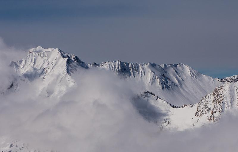
Wolverine Peak - Millicent - Catherine's Pass area
Weather
Sky
Clear
Wind Direction
Northeast
Wind Speed
Light
Weather Comments
Stunningly beautiful day with clear skies, very cold, a few wispy clouds around the peaks from low level moisture, light winds. One of those days....
Snow Characteristics
New Snow Depth
10"
New Snow Density
Low
Snow Surface Conditions
Powder
Snow Characteristics Comments

About 10 inches of new powder around Alta but less snow on the Big Cottonwood side of the divide. Nice, light powder and everyone seemed to be enjoying themselves. Lots of people out and everything getting tracked up very fast. There was some wind damage before the latest snow along the high alpine terrain. South facing slopes were getting a bit damp towards the end of the day but temperatures were cold enough to keep things in check. Hard to complain about too much today.

Red Flags
Red Flags
Wind Loading
Poor Snowpack Structure
Red Flags Comments
Some wind damage along the high alpine terrain but everything else was fine. There is some poor snowpack structure on southerly facing slopes, where I found the weakest snow.
Avalanche Problem #1
Problem
New Snow
Trend
Same
Problem #1 Comments

We have an unusual condition. South facing slopes are usually the stable aspect, but right now, it seems to be the aspect with the poorest structure. There is a sun crust-facet sandwich layer buried about a foot or so deep that pops out fairly easily and it's fairly widespread on the sunny aspects. (See Video) It made me more nervous than the lingering wind slabs. I suspect it will settle out quickly and most of the instability probably already has. But this layer was responsible for 2-3 human triggered avalanches lately and Snowbird got another sizable release on a SE aspect with explosives. I'm not sure it was the same layer.

With the warming temperatures in the forecast, we should keep an eye on this layer. I'm not quite sure what's going to happen with it. The sun and warming will make it more unstable and in the long run, the heat will stabilizes the layer. It will be a teeter-totter between those two processes, so I'm curious what will happen with it. I don't have a lot of experience with these. But don't assume south aspects are safe, as they usually are.

Avalanche Problem #2
Problem
Persistent Weak Layer
Problem #2 Comments

Lingering wind deposits along the high ridges may still be a problem on Thursday. With very cold temperatures, many of these may be preserved longer than usual. As usual, be suspicious of wind deposits on steep slopes. They are hard to see because they are covered up by new snow.

Comments

Here is a quick video of the sun crust - facet sandwich on the SOUTH facing slopes that seem like the weakest snow out there right now.

Video

Kinda purdy. Lots of slopes getting tracked up without incident. You can see some sluffs off the rocks and steep terrain.

Overall, most slopes have a Low danger but continued Moderate danger on the south facing slopes and any slope with recent wind drifts.