Observation: Weber Canyon

Observation Date
2/26/2013
Observer Name
jg
Region
Uintas
Location Name or Route
Weber Canyon
Weather
Sky
Broken
Precipitation
Light Snowfall
Wind Direction
North
Wind Speed
Light
Weather Comments
Broken to overcast skies, the sun popped out a few times but for the most part the clouds covered the sky. On and off snowfall throughout the day with accumulations of 2"-4" during the day. Winds were light from the NNE with moderate to strong gusts. Cold; temps at 10,000 in the single digits and below zero with the wind chill.
Snow Characteristics
New Snow Depth
3"
New Snow Density
Low
Snow Surface Conditions
Powder
Snow Characteristics Comments

Low density cold powder skiing today. It was a little hard to tell how much new snow there was overnight and how much we got during the day but I'd guess 2"-4" overnight and another 2"-4" during the day.

Red Flags
Red Flags
Wind Loading
Poor Snowpack Structure
Red Flags Comments
The wind was moving snow today in the upper elevation terrain. The buried persistent weak layers are still there.
Avalanche Problem #1
Problem
Persistent Weak Layer
Trend
Decreasing Danger
Problem #1 Comments

The north winds were loading south facing slopes and drifts were sensitive to the weight of a skier. With less wind the trend should be toward decreasing danger over the next few days.

Avalanche Problem #2
Problem
New Snow
Problem #2 Comments

With more weight on the snow pack from the last series of storms there is potential to activate the buried weak facets from January. Tests still show results on these layers but they are becoming harder to get to fail.

Comments

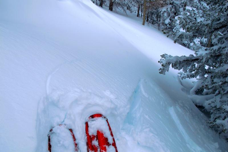
Traveled from 6800'-10,300, all aspects, slope angles to 35 degrees. Was not able to see terrain off in the distance but saw no signs of instability in the areas we traveled other than some sensitive wind slabs on south facing slopes. Skiing is excellent right now. With high pressure and warmer temps forecast there is potential for wet snow slides.