Observation: Dry Fork of AF

Observation Date
2/14/2013
Observer Name
Hardesty
Region
Salt Lake
Location Name or Route
Dry Fork
Weather
Sky
Scattered
Wind Direction
Northwest
Wind Speed
Moderate
Weather Comments
Clouds played cat and mouse with the sun. Seems like cool temps, clouds, and a wind held off much wet activity; would imagine that to be a player for tomorrow.
Snow Characteristics
New Snow Depth
2"
New Snow Density
Medium
Snow Surface Conditions
Powder
Snow Characteristics Comments

Quite good skiing where wind sheltered. Skiied east, south, and north....was a touch late for south....and managed to collapse the 3cm melt-freeze crust buried 10" down on facets beneath (south facing 10,400') ...no "collapse/whoomph" but with noted structure and feeling "late', I ripped skins just below the ridge and headed down. Many south and west slopes will be crusted tomorrow morning.

Red Flags
Red Flags
Recent Avalanches
Wind Loading
Rapid Warming
Poor Snowpack Structure
Red Flags Comments
Noted a couple new wind/sun driven very shallow soft slabs on steep south and east facing slopes just below the ridgeline. Size 1 3-5" deep and 30' wide. Roughly 10,500' Photos below.
Avalanche Problem #1
Problem
Persistent Weak Layer
Problem #1 Comments

Shallowish wind drifts along high lee and across the open exposed subridges...

Avalanche Problem #2
Problem
Wet Snow
Problem #2 Comments

May be more of the issue tomorrow on steep east then south then west

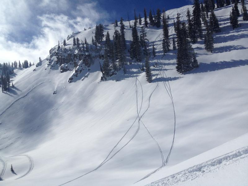
Recent cross-loading noted....from right to left...

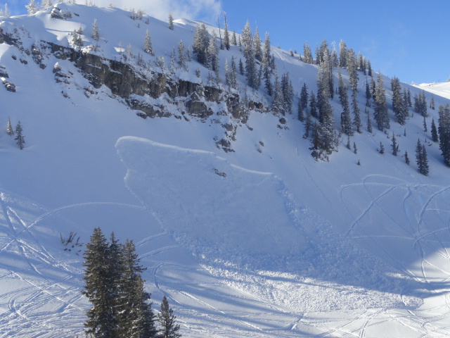
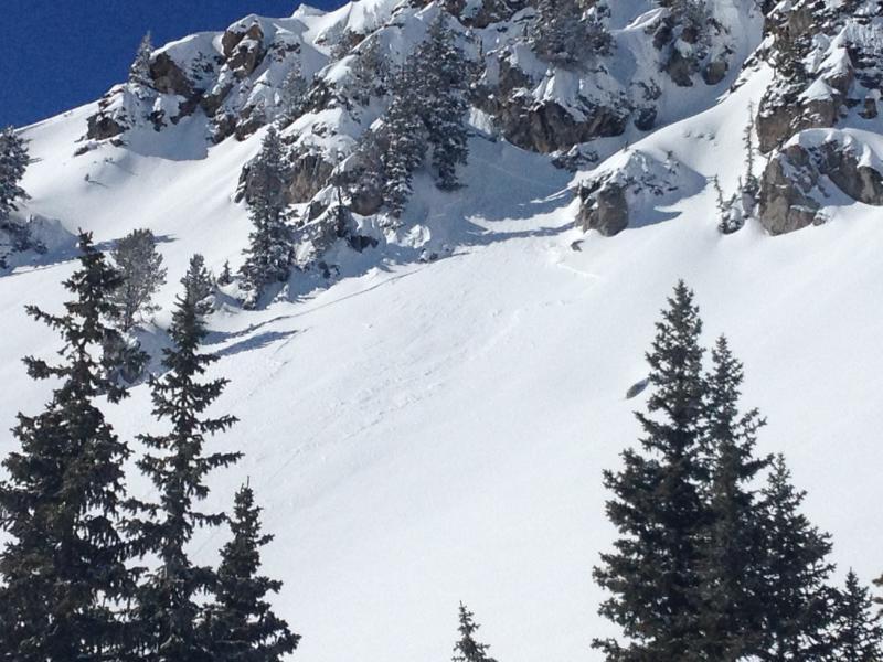
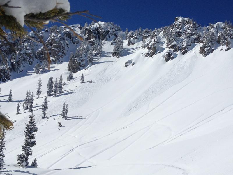
Quick word on spatial variability. The photo here above demonstrates that well. The photo below demonstrates temporal variability. Dangerous when triggered on Feb 1....less so now - thus the tracks to looker's right...