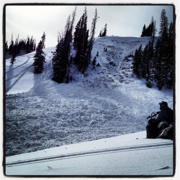
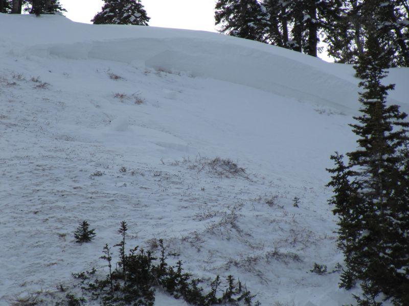
This was the second of two avalanches and was a much more dangerous avalanche than the first. This was at least 4 feet deep and produced a large pile of debris some of which was pushed into a gully where it piled up quite deep.
The Fish Lake Region has some quite weak snow from the ground up to around 18" above the ground. The recent storm added enough weight in wind loaded areas to create a danger to motorized users who might venture into this terrain. In most areas, this weakness is not reactive right now. It appears that you need to be in an area that has additional snow from the winds, in other words, you need a slope that has been drifted in pretty deep on top of this weakness. The weakness is most pronounced on west through north through east facing slopes. The new wind loads are primarily on the more easterly facing slopes. The slopes need to be over 35 degrees in steepness.


