Forecast for the Uintas Area Mountains

Craig Gordon
Issued by Craig Gordon for
Saturday, February 2, 2013

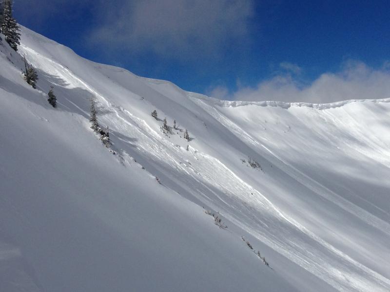
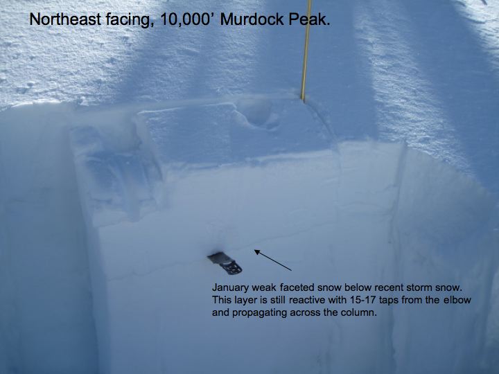
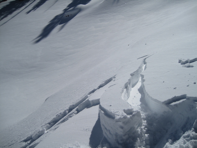
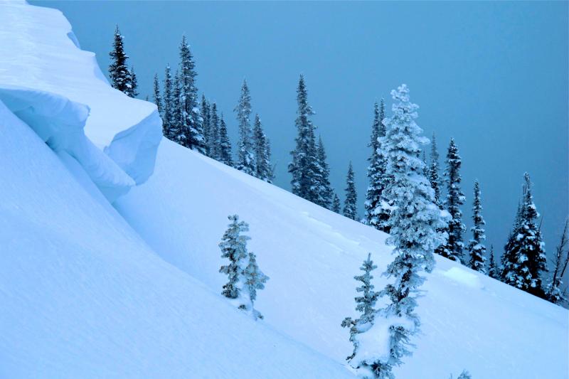
At and above treeline a CONSIDERABLE avalanche danger exists today and dangerous human triggered avalanches are likely. Within this terrain, pockets of HIGH avalanche danger are found, especially on steep wind drifted slopes with an easterly component to their aspect.

A MODERATE avalanche danger is found on steep, wind drifted mid elevation terrain and human triggered avalanches are possible.

LOW avalanche danger is found in wind sheltered terrain where there are no steep slopes above or adjacent to where you're riding .

Low
Moderate
Considerable
High
Extreme
Learn how to read the forecast here
Weather and Snow

Under clear skies, temperatures are hovering in the mid teens, and west-northwest are blowing 15-25 along the high peaks. The recent round of snow and wind pasted the Eastern front and the place finally looks like winter. Surface snow conditions remain excellent, especially in wind sheltered terrain where soft, settled, creamy powder is found.

In late Breaking News, both Punxsutawney Phil and Staten Island Chuck have seen their shadows.... not good news for the second half of winter, though conspiracy theorists are already on the case. A full investigation is in the works.

Recent observations can be found here.

Wondering why last winter was so crazy? Click here to watch the 2011-12 Utah Winter Review... an excellent recap of last years conditions.

This image pretty much sums it up... cornices have grown in the past few days, north facing terrain is wind loaded and fat, and the Uintas are white.

Recent Avalanches

Yesterday, steep upper elevation, wind loaded slopes produced avalanches breaking up to 3' deep and several hundred feet wide.

An accident report detailing the very tragic avalanche in the West Fork of the Duchesne can be found here.

Ad
Avalanche Problem #1
New Snow
Type
Location
Likelihood
Size
Description

It'll be a stellar day in the mountains with sunny skies, fresh powder, and great riding conditions. Unfortunately, this weeks storm snow is also leading to deceptively tricky avalanche conditions. Nuking winds last Sunday laid down a strong cohesive slab, which now rests on top of weak sugary facets formed during the early January dryspell. While many slopes are good to go and offer green light conditions, others are just waiting for a trigger to come along and knock the legs out from underneath it.

One thing for sure- persistent buried weak layers trick even the most experienced avalanche people and our current setup is no different. Once triggered, today's avalanches will be dangerous, breaking deeper and wider than you might expect. Low angle slopes not connected to steep terrain above you along with terrain facing the south half of the compass will be the ticket. With these great riding options available, you can avoid avalanches altogether and have a blast today.

Here's the basic setup in wind loaded terrain facing the north half of the compass. Thanks to Ted Scroggin for submitting this great info!

Avalanche Problem #2
Persistent Weak Layer
Type
Location
Likelihood
Size
Description

Fresh wind slabs are the most obvious avalanche problem today, but don't get tricked into thinking this is the only avalanche dragon out there. An easily triggered soft slab can quickly get out of hand, especially if it breaks into weaker layers of the snowpack as it crashes down on the slope below.

Ted found this wind slab on a steep, upper elevation wind drifted slope near Bald Mountain Pass.

Avalanche Problem #3
Cornice
Type
Location
Likelihood
Size
Description

Cornices have grown and will break further back than you might expect. Best to steer clear of these unpredictable pieces of snow. Thanks to JG for this beautiful picture.

Additional Information

Sunny skies, temperatures warming into the low 30's, and decreasing winds are on tap the next few days as high pressure builds over the area. Not much change in the pattern until possibly next weekend.

General Announcements

Remember your information can save lives. If you see anything we should know about, please participate in the creation of our own community avalanche advisory by submitting snow and avalanche conditions. You can call me directly at 801-231-2170, email [email protected], or email by clicking HERE

This is a great time of year to schedule a free avalanche awareness presentation for your group or club. You can contact me at 801-231-2170 or email [email protected]

Donate to your favorite non-profit –The Friends of the Utah Avalanche Center. The UAC depends on contributions from users like you to support our work.

The information in this advisory is from the US Forest Service which is solely responsible for its content. This advisory describes general avalanche conditions and local variations always occur.

The information in this advisory expires 24 hours after the date and time posted, but will be updated by 7:00 AM Sunday February 3rd.